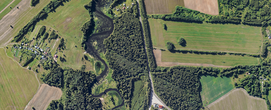
Professional aerial photography
Professional aerial photography
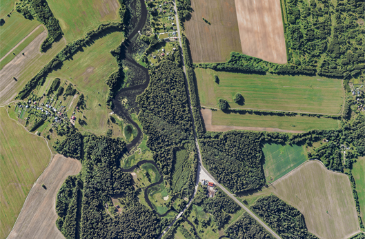
Geoscan supplies services on aerial photography of linear and areal objects as well as on further data analysis with acquiring the following results:


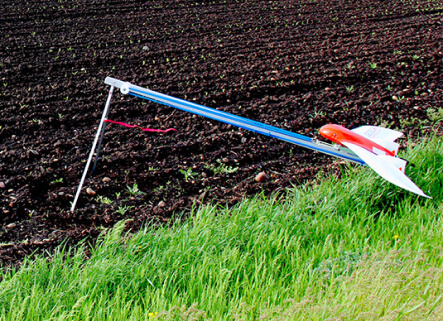
Aerial photography is curried out with the Geoscan UAVs supplied with full-frame Sony cameras and dual-frequency GNSS receivers. Photogrammetric data analysis is conducted in the Agisoft Metashape Professional software.
Around the world, there is a great demand for aerial photography to conduct surveying and acquire data. The reason is:

Low price of aerial photography
Aerial photography costs several times less than satellite imagery and traditional surveying.

High precision
Standard deviation of feature points is less than 10cm.

High resolution of photos
The Geoscan UAVs allow receiving photos with spatial resolution up to 1 cm/pix, which guarantees high level of precision of models and orthophotos.

Work in difficult conditions
Aerial photography can be carried out in low cloud and within wide range of operating temperatures, from -20 to +40 °С. Aerodynamic properties of the Geoscan UAVs allow them not to diverge from a route even in a windy weather.

Work in necessary coordinate system
After a flight you receive georeferenced photos, and while processing the images, you can refer them to a necessary coordinate system.

High productivity
Several hundred square kilometers can be surveyed per a day.
Acquired data
Photogrammetric processing, carried out in Agisoft Metashape, allows receiving necessary data for further use.
In one file or tiles. Formats: geotiff, jpg, png, GoogleEarth KML\KMZ.
 Resolution up to 2 cm/pix
 Scale from 1:500 to 1:5000
 High geodetic precision
Point cloud built is not inferior in quality to results of laser scanning.
Point cloud built is not inferior in quality to results of laser scanning.


DSM analysis allows resolving the following problems:
Mapping
On the base of DSM, terrain maps can be built as well as geomorphic features can be researched.
Building design
DSM allows determining the volume of earthworks and monitoring changes over time.
Road design
The structure of relief is surveyed, trail profiles are built as well as pit depths, volumes of embankments and directions of excavations are measured.
Environment
Up-to-date change data for forest, water farms, etc.
Surveying
Terrain models allow building surfaces with contour lines with the required height relief sections.
Modelling in GIS
Creating DSM for digital maps and navigators.
The Agisoft Metashape software allows building a three-dimensional polygonal model of an object after processing photos as well as creating photorealistic models that can be used for further analysis.
Aerial photography process
Aerial photography includes field and office work, and the set of data obtained after the office work varies depending on the customer's requirements.
*Aerial photography takes approximately 1 to 4 weeks from the date of prepayment. Terms of execution can be increased due to significant amount of work.

*Aerial photography takes approximately 1 to 4 weeks from the date of prepayment. Terms of execution can be increased due to significant amount of work.
Application scenarios
Acquiring high-quality spatial data. After processing them, orthophotos and digital models are built which are ideal for cadastral accounting, creating maps and plans with 1:500, 1:1000 and 1:2000 scales.
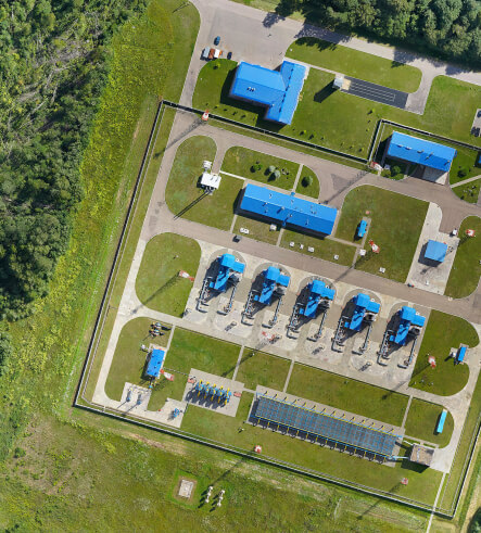
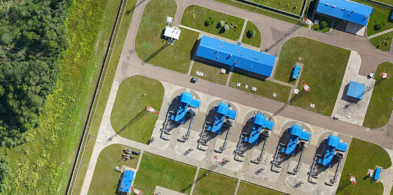
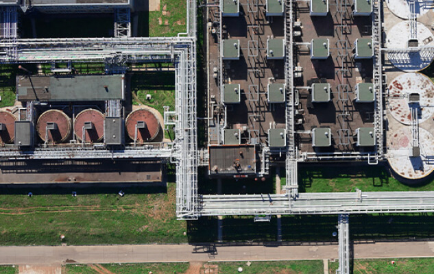
Regular monitoring energy infrastructure facilities allows obtaining detailed images of supports, studying insulator defects and damage to poles, reconstructing the position of wires and the state of the security zone using a 3D model.
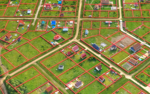
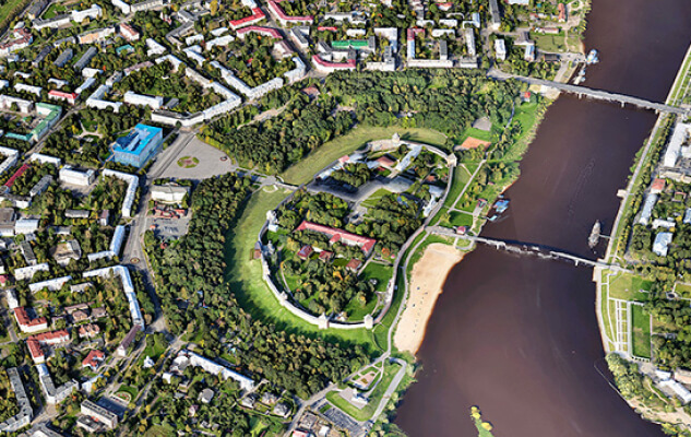
Creating detailed models of cities and objects of cultural heritage, identifying breaches of the cadastre and the actual boundaries of land use, designing buildings and planning urban amenities in a three-dimensional environment.
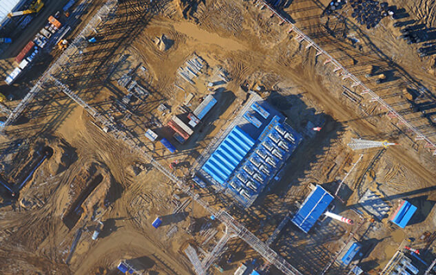
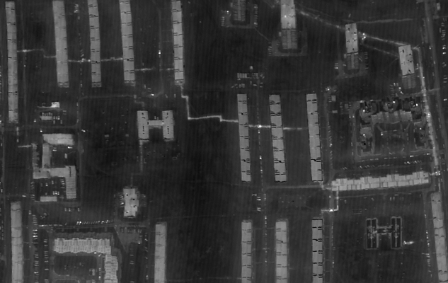
Monitoring the construction process and operational tracking of changes. Creating 3D panoramas of constructed real estate objects. Up-to-date and accurate data on the geometrical characteristics of construction sites, buildings and related infrastructure.
Cost-effective monitoring of forest lands, inventory of forest areas without long detours, finding areas of felling and drying, identifying breaches.
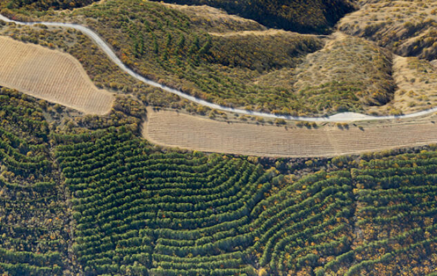
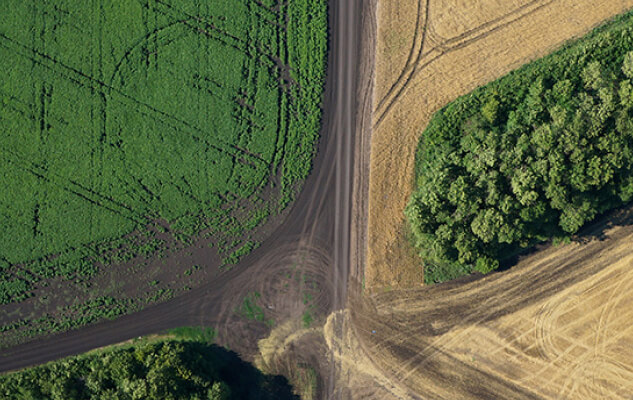
Inventorying farmlands, creating electronic maps of fields and cadastre. Monitoring equipment, state of crops and fallow fields, calculating NDVI and other indices. Accompanying agrotechnical activities.
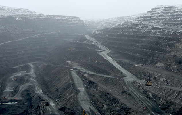
Precise and up-to-date geometric data on the surface of a quarry, section, mine. Control over the completeness of excavation, determination of production volumes, accounting of volumes of overburden removed, determination of losses, monitoring of the steady state of sides and dumps.
Monitoring of heating mains and communication networks. Evaluation of the efficiency of heating networks, identification of violations of the insulating layer, manifestations of corrosion, thermal leaks, as a result — a decrease in the cost of monitoring and repair work.
Have questions but do not know what to start with?
We will help with decision-making, answer your questions and prepare a special offer.
Request a call-back
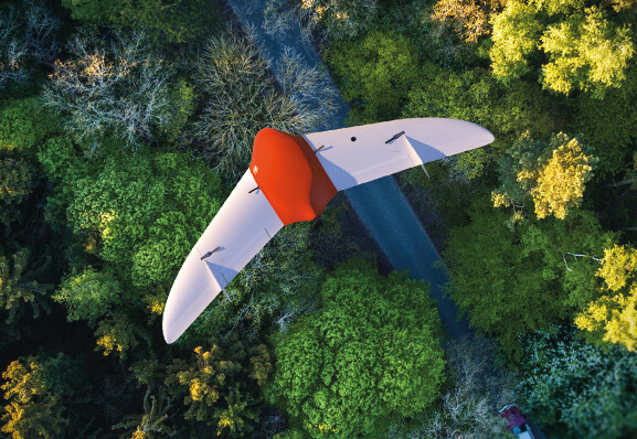
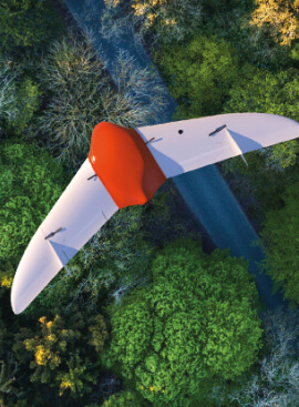
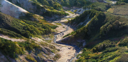
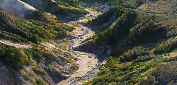
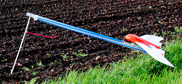
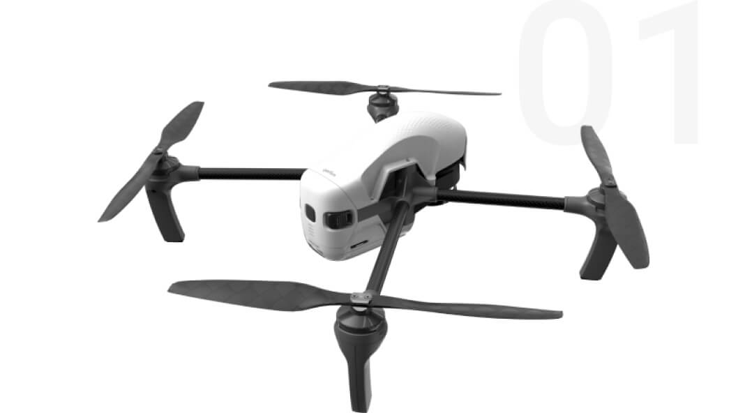
The Geoscan UAVs for aerial photography
Our UAVs are perfect for surveying vast territories, extended objects and working at a considerable distance from the launch point, as well as for more detailed surveys to build photorealistic models.
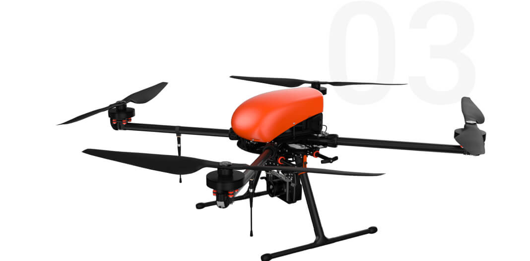
Geoscan Gemini
Gemini is a high-performance drone for aerial photography. It ensures the accuracy down to 5 cm.
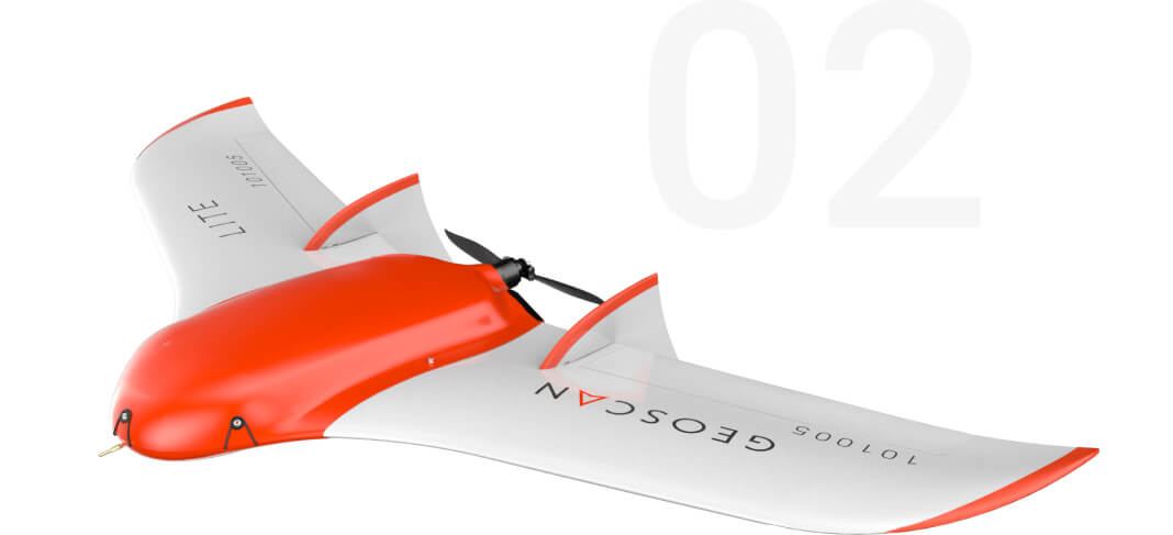
Geoscan Lite
The choice for professionals who need to see the situation from a height in detail. Suitable for tasks where you need to quickly get accurate information about the area. It is easy to build an orthophoto, a DSM or a 3D model of the territory based on the photographs taken from the drone.
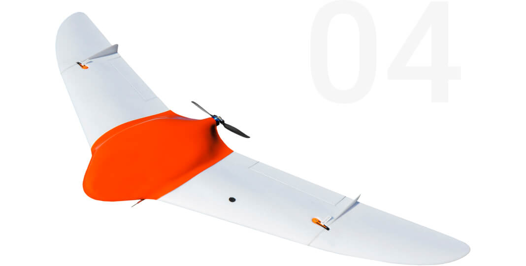
Geoscan 401
Aerial photography system with vertical take-off and landing. Able to start from a 5m area, work in a confined space and accurately bend around the terrain. Due to the onboard GNSS receiver, the images obtained allow building precise georeferenced orthophotos and 3D models.
Geoscan 201
Automatic aerial photography system with flight duration increased to three hours. Due to this, Geoscan 201 allows surveying a large area per one flight and provides a greater range, which reduces logistics costs.
Geoscan‘s and individual projects
Geoscan has over a hundred completed projects in aerial photography in different directions and for different tasks, in Russia and abroad. Take a look at our projects and see for yourself.