Geoscan 401 Gamma
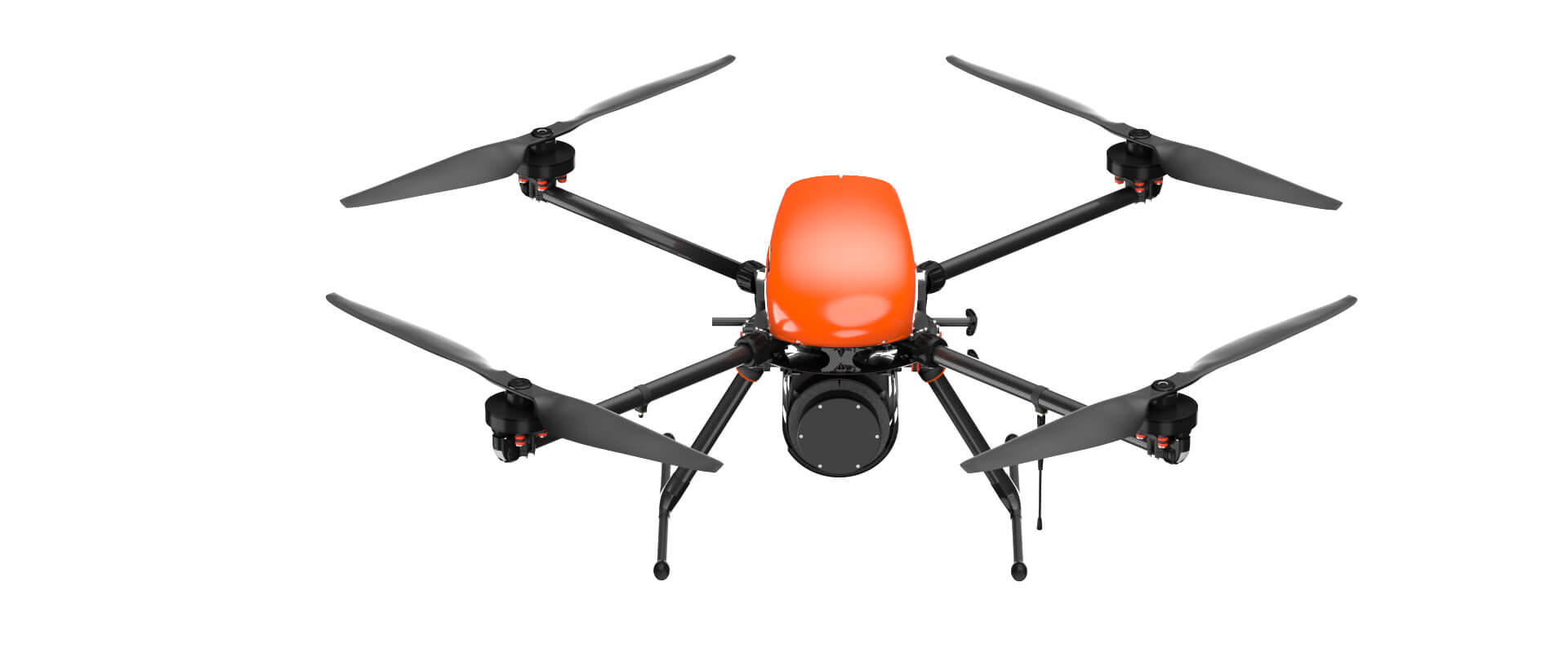


Geoscan 401 Gamma
The unmanned aerial system with a gamma-ray spectrometer for geological surveys.

UAS Geoscan 401 Gamma with a gamma-ray spectrometer
System description
The Geoscan 401 Gamma system is designed for gamma-ray spectrometric surveying and generating maps that show the secondary radiogeochemical zonality, the exposure rate, the concentration of potassium, uranium and thorium. The UAS can take off from a 5 m radius site, operate within confined space and accurately bend round terrain. It carries the gamma-ray spectrometer GS-1.
Instructions:

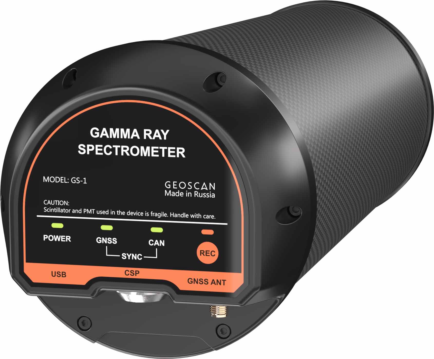
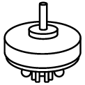
The gamma-ray spectrometer GS-1 for the UAV
Due to its low weight and high sensitivity, the gamma-ray spectrometer, designed by the Geoscan company, allows to conduct aerial and gamma-ray spectrometric survey with the UAV.
- Detector: single crystal scintillator NaI (Tl) / CsI (Tl)
- Energy resolution: approximately 7.5 % / 8.5 %
- Energy range: from 30 keV to 3.0 MeV
- Weight: 2.6 kg / 2.8 kg
- Operating temperature: from -20 to +50 °С
You can purchase the gamma-ray spectrometer GS-1 separately or as a payload for Geoscan 401 Gamma.
Advantages
Efficiency
It is much easier, quicker and cheaper to organise gamma-ray spectrometric survey with an UAV than with a plane or helicopter. Research outcomes allow to determine locations that may be interesting to explore and, thus, to reduce the amount of unproductive exploratory drilling.
Accuracy
A survey provides accurate data on the concentrations of chemical elements. The results allow to correct properly further development of geological surveying.
Convenient operating
Specialized well-adjusted autopilot developed by Geoscan arranges customer’s tasks fulfillment requiring no alignment or refining. Software makes operation easy and safe.
Reliability
Manoeuvring system follows any complicated route providing accurate bending round the terrain and steers the course even at wind speed 12 m/sec in fully-automatic mode.
Utility
Vertical launch and landing make drone suitable for using in a tight city space or in a thick forest. Smart battery covered with special shell guarantees fail-safe operating at temperature range from – 40 to +40 °С (arctic option).
The tasks for Geoscan 401 Gamma
- Exploring radioactive ores that contain potassium, uranium and thorium and nonradioactive elements connected with them.
- Lithologic and tectonic mapping.
- Determining different composition intrusive bodied unaffected by erosion.
- Selecting and tracing structures verified for ore content and hydrothermal and metasomatic changes with ores.
- Planning detailed land geophysical, mining and drilling work.
Results


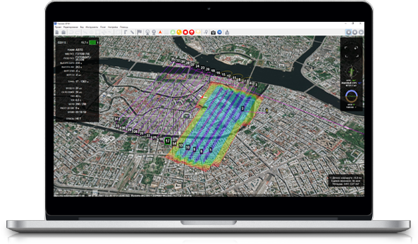
Software
- Geoscan Planner
It allows to divide a survey profile for vertices. Due to this, Geoscan 401 Gamma accurately bends round terrain during a flight. - GeoScan Spectrometer
Control of gamma-ray spectrometric survey data in the filed. An ability to exclude fly-by / fly-off and to divide data base to separate profiles. - Automatic receipt of a profiling map of integral channel.
UAV specifications
Flight endurance:
up to 35 min
Max. route length:
18 km (in one flight)
Wind resistance:
12 m/s

Cruise speed:
up to 50 km/h
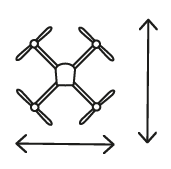
Dimensions:
While folded: 71 × 20 × 19 cm
Ready-to-flight: 150 × 150 × 56 cm
Min. safe flight altitude:
From 25 m
Most efficient flight altitude:
up to 60 m
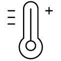
Operating temperature:
from -20 to +40 °С
(optional expansion up to -40 °С is possible)
Motor:
electric / 4 pcs
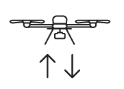
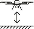
Take-off / landing:
vertical, automatic, 5 m radius site
Gamma-ray spectrometer technical specifications
| Detector | Single crystal scintillator NaI (Tl) | Single crystal scintillator CsI (Tl) |
| Detector shape, size | Cylinder, 76 × 76 mm (0.34 l) | 80 х 80 mm (0.4 l) |
| Energy resolution | 7.5 % | 8.5 % |
| Spectrometer shape, size | Cylinder Ø 100 mm, L = 330 mm | Cylinder Ø 100 mm, L = 330 mm |
| Sensor weight | 2.6 kg | 2.8 kg |
| IP code | IP67 | IP67 |
| Operating temperature | -20… +50 °С | -20… +50 °С |
| Supply voltage | 5 V | 5 V |
| Power consumption | 1 W | 1 W |
| Data collection system | Internal memory of device | Internal memory of device |
Default kit
- Geoscan 401 Gamma UAV
- Gamma-ray spectrometer GS-1
- Triple-system (GPS/GLONASS/BeiDou) GNSS receiver with dual band (L1/L2) antenna
- Battery with a protection system - 3 pcs. 10S, 17000 mAh
- Spares and accessories kit
- Flight management software: Geoscan Planner
- Radio link modem
- Charger
- UAV transport container (IP67, size: 80x52x31 cm, gr.wt.: 16 kg)
- User's manual
- Operator training in St. Petersburg
Extra
- Quantum magnetometer Geoscan GeoShark
- Upgraded photogrammetric camera 45 MPix
- Metashape Professional software
- «Arctic» modification (extends temperature range to -40 °С )
- Practical work in the field

1 Year / 80 flights warranty

System operation training course
