Geoscan 401 Geodesy


Geoscan 401 Geodesy
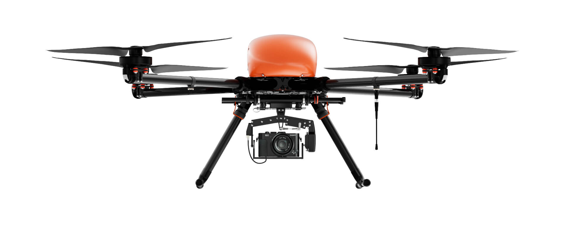
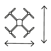
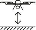
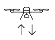
A system with vertical take-off and landing. It has high maneuverability, able of surveying at the lowest altitudes and hover over a given point.

Add to compare
Overview
Aerial photography system with vertical take-off and landing. Complex takes-off from a site with a diameter of 5 m, can work in a confined space and accurately bend the relief. With Geoscan 401 Geodesy, you can survey high-rise structures (pipes and utility poles), objects with pronounced relief and significant altitude differences (quarries) or vertical surfaces (facades). Due to the onboard geodetic GNSS receiver, the obtained images allow the creation of the precise georeferenced orthophotos and 3D models.
Instructions:
Control without RC transmitter
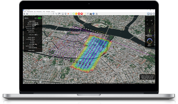
Geoscan Planner software allows to create flight missions for areal surveys of terrain and linear objects in different flight modes (point-by-point, areal survey, etc.). You can easily switch different base maps, upload your own maps, terrain models and photo plans to kml. or kmz. formats.
The software will automatically generate flight mission, send flightpath to UAV and track real-time flight status. All you need is to select the area on the map or upload your flightpath.
Main specifications
Flight time:
up to 1 hour
Max. flight route length:
40 km
Survey area per one flight:
at a scale of:
2 cm GSD - 1.6 km2;
3 cm GSD - 2.4 km2;
5 cm GSD - 3.9 km2
Wind resistance:
12 m/s
Cruise speed:
up to 50 km/h
Weigth (incl.payload):
9,3 kg
Max. payload weight:
2,5 kg
Dimensions:
Folded: 70х25х20 cm
Ready-to-flight: 150х150х43 cm
Min. safe flight altitude:
From 25 m
Max. flight altitude:
500 m
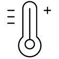
Operating temperatures:
from -20 to +40 °С
extra option "Arctic" allow temperature resistance down to -40 °С
Motors:
electric, brushless
Take-off:
vertical, automatic

Geoscan 401 equipment
Geoscan 401 comes in two protective containers IP67, one for charging station, and another one is for ground control station and the UAV.
Basic package consist of:
- Unmanned aerial vehicle (UAV) Geoscan 401
- Battery with a protection system - 1 pc.
- Upgraded photogrammetric camera 45 MPix
- Triple-system (GPS/GLONASS/BeiDou) GNSS receiver with dual band (L1/L2) antenna
- spare parts and accessories kit
- Ground control station:
- Flight management(or ground control station) software : Geoscan Planner
- Radio link modem for connection with UAV
- Charging station in transport container (IP67, sizes 50x40x19 cm, weight without batteries: 7.5 kg)
- transport case (IP67, size: 80x52x31 cm, gr.weight: 16 kg)
- User manual
- UAV operator training course in Saint-Petersburg
Extra equipment
- Additional quadcopter Geoscan 401 (quadcopter, electronics, data link control/telemetry, protective IP67 container, spare parts)
- «Arctic» modification (extends temperature range to -40 / +20 °С )
Software to consider
Operator Training in St. Petersburg
- Introduction to Geoscan UAV & workflow
- Flight planning & management with Geoscan Planner
- Practical work in the field

1 Year / 80 flights warranty

System operation training course
