Multispectral camera
Geoscan Pollux
An integrated tool for agricultural land assessment
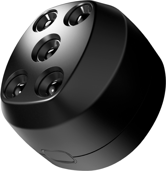

Five independent
bands

5.2cm GSD
at 120m

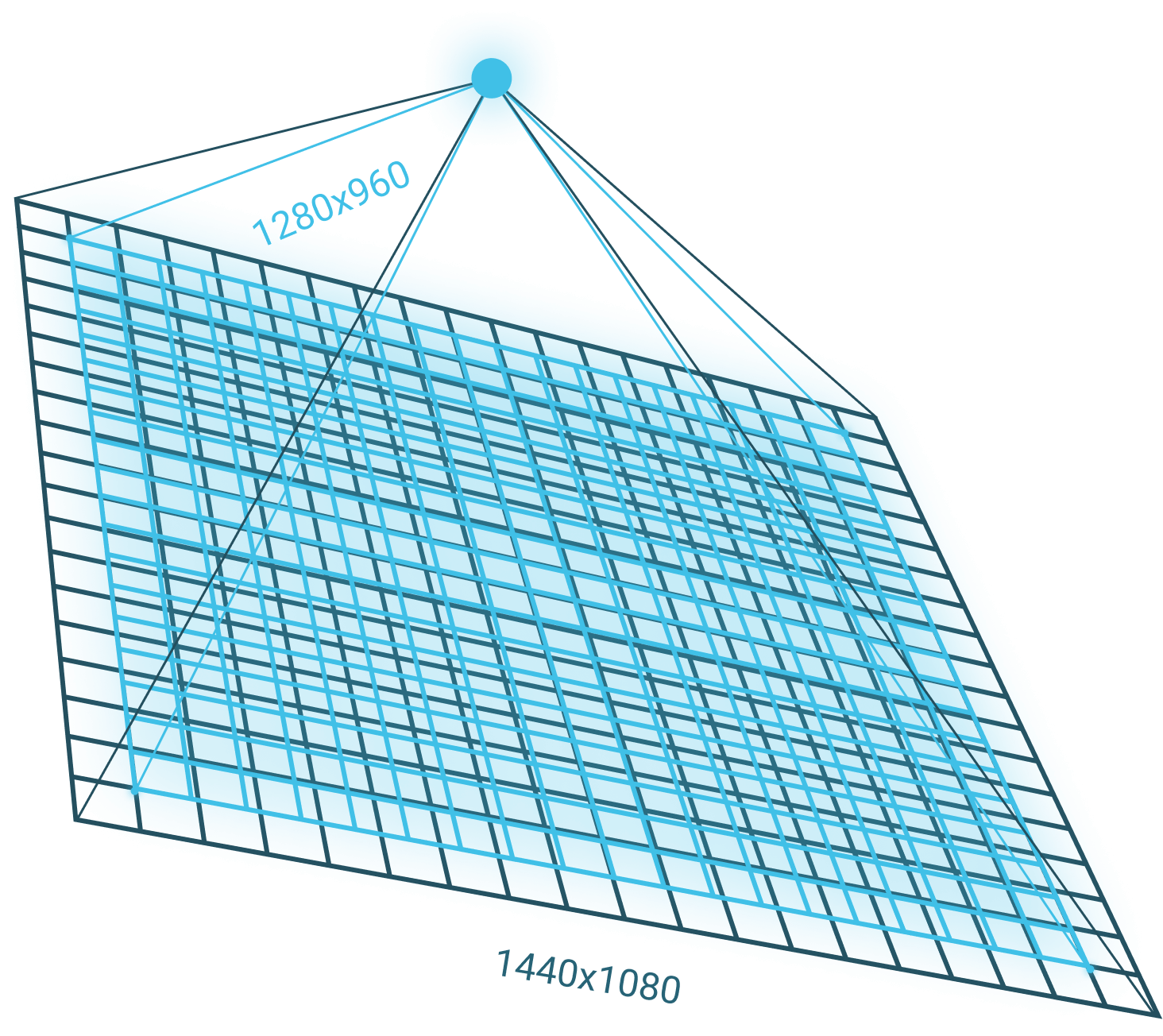
Image size
1440x1080

Full support
in Agisoft Metashape
Pregius sensors
and controlling the camera
Geoscan Pollux
This is a multispectral digital camera designed and manufactured by Geoscan with the use of the latest components and technologies.
Compared with competitors, Geoscan Pollux is distinguished for its higher detail and performance, thanks to the 1.5 MP Sony sensors and fast lenses at all the five bands.

Product design – Usaev Design
Advantages
Going into detail
Higher image size and longer focal lengths make images more detailed. For example, from fixed-wing UAVs, which minimum altitude is limited, Geoscan Pollux makes it possible to obtain GSD of 5.2cm (at 120m AGL).
Comparison with competitors
| Pollux | Camera 1 | Camera 2 | Camera 3 | |
| Number of bands | 5 | 5 | 4 | 6 |
| Number of pixels, MP | 1,55 | 1,2 | 1,2 | 1,2 |
| Image size | 1440x1080 | 1280x960 | 1280x960 | 1280x960 |
| Pixel size, μm | 3,45 | 3,75 | 3,75 | 3,75 |
| Focal length, mm | 8 | 5,4 | 3,98 | 5,2 |
| GSD at 120 m, cm | 5,2 | 8,3 | 11,3 | 8,65 |
| Survey area in 90 minutes (10 cm/pix), ha* | 413 | 368 | 368 | 368 |
| RGB output | Yes | Yes | Separate sensor with a rolling shutter | Yes |
| Storage | microSD | SD | 64Gb+SD | microSD |
Transmission characteristics of filters
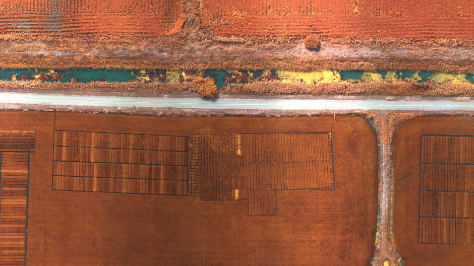
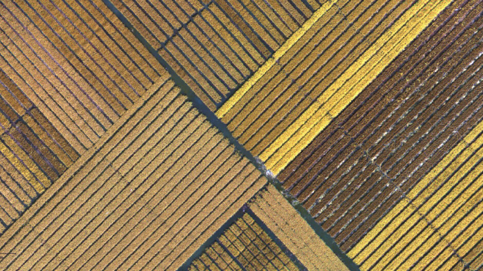
Data examples
Single frame
(5 bands, ~10 MB)
Raw images
(whole flight, ~8.4 GB)
Orthomosaics
(5 bands, ~3.5 GB)

Input Data
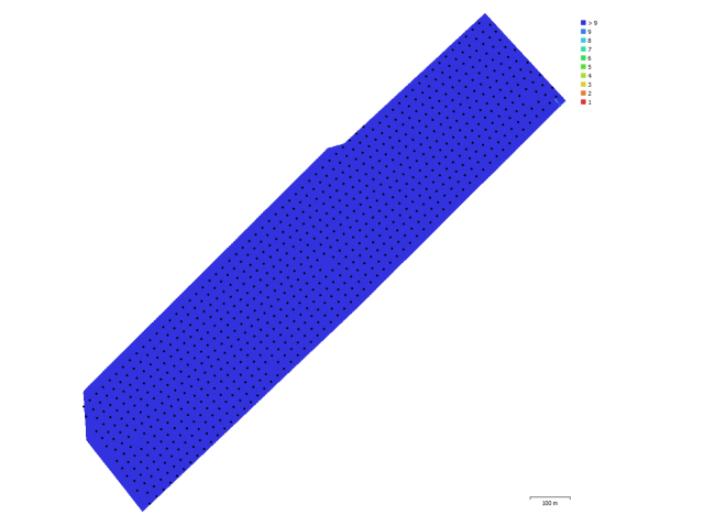
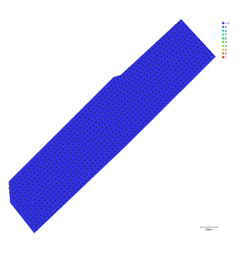
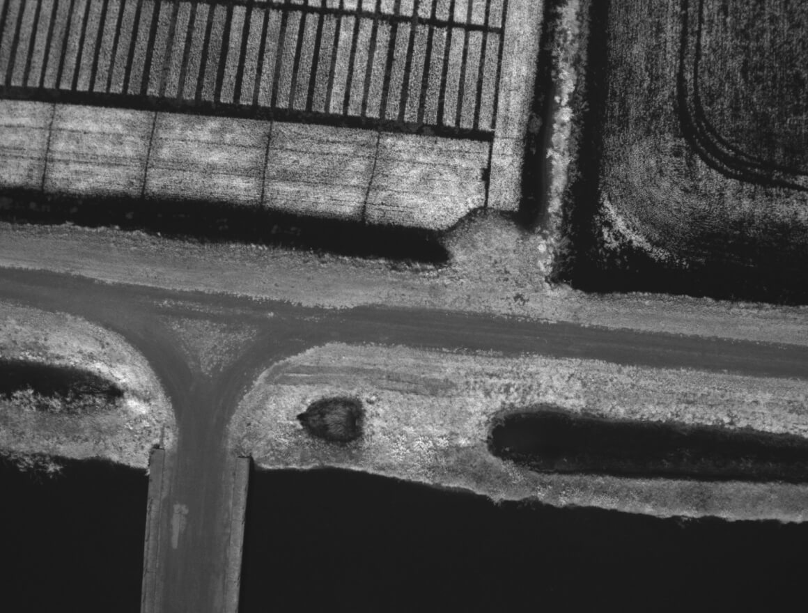
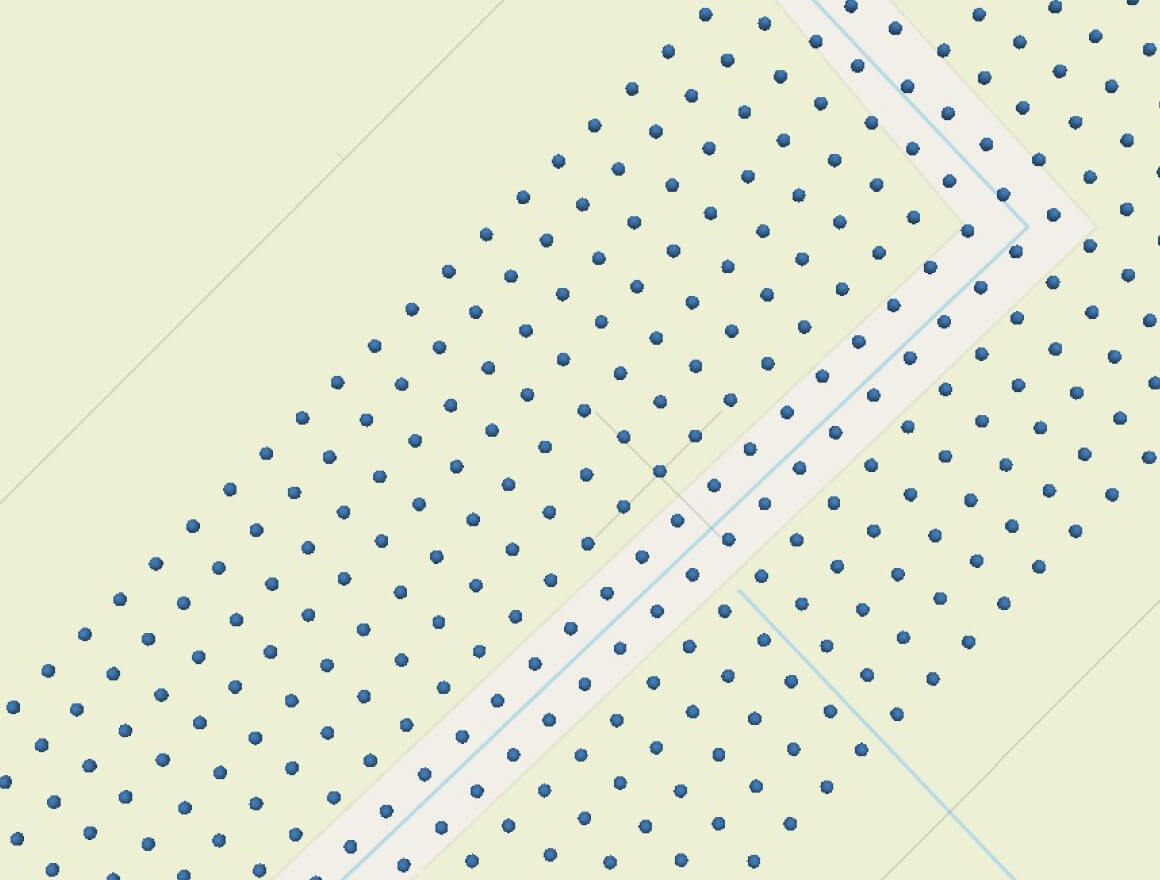
Fig. 1. Position of photo centers
and overlap of photos.
Fig. 1. Position of photo centers
and overlap of photos.
| Camera model | Image size | Focal length | Pixel size | Calibration |
| Pollux, Blue (8mm) | 1440 x 1080 | 8 mm | 3,45 x 3,45 µm | N/A |
| Pollux, Green (8mm) | 1440 x 1080 | 8 mm | 3,45 x 3,45 µm | N/A |
| Pollux, Red (8mm) | 1440 x 1080 | 8 mm | 3,45 x 3,45 µm | N/A |
| Pollux, RedEdge (8mm) | 1440 x 1080 | 8 mm | 3,45 x 3,45 µm | N/A |
| Pollux, NIR (8mm) | 1440 x 1080 | 8 mm | 3,45 x 3,45 µm | N/A |
Table 1. Cameras.
Camera calibration
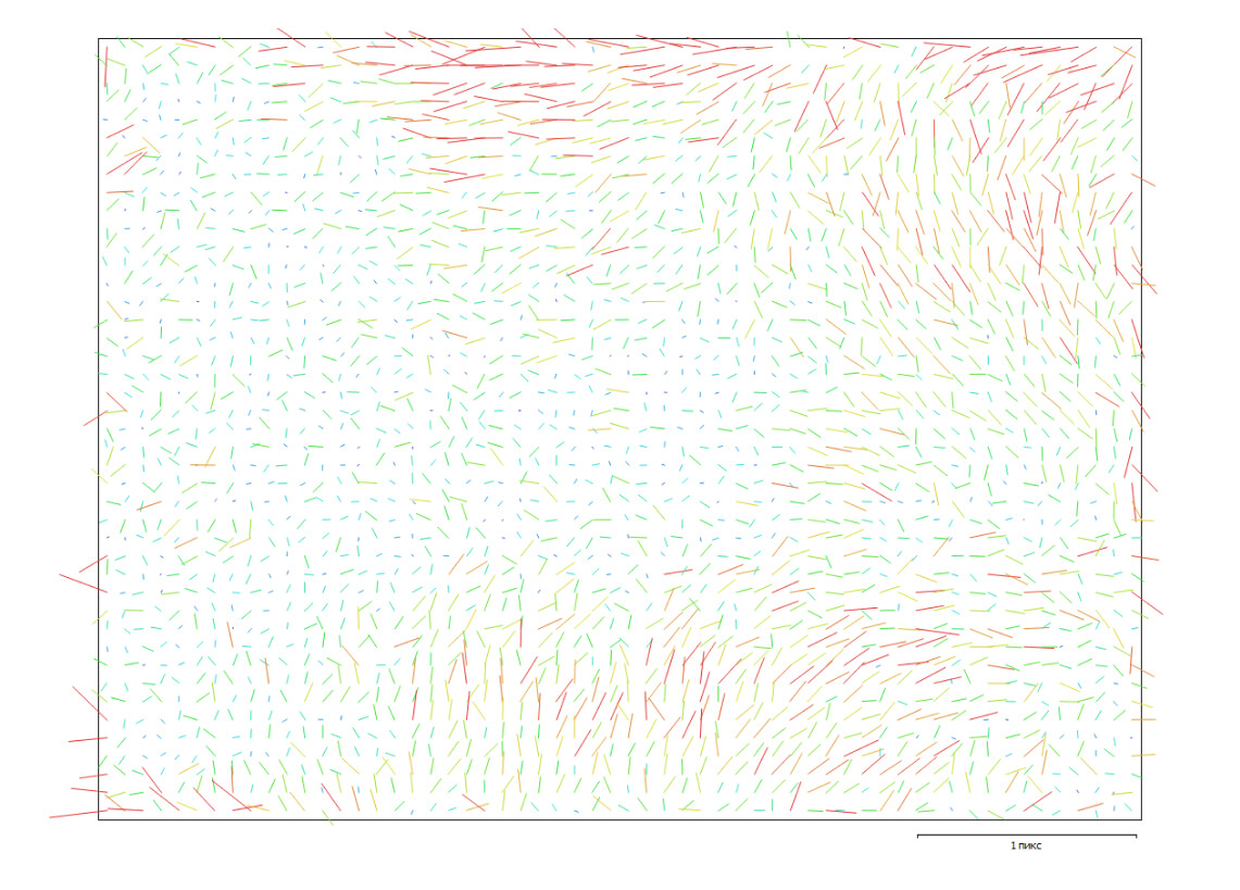
Fig. 2. Change point error for Pollux, Blue (8mm).
Pollux, Blue (8mm):837 images
Type
Frame-by-frame
Image size
1440 x 1080
Focal length
8 mm
Pixel size
3.45 x 3.45 µm
| Value | Error | F | Cx | Cy | K1 | K2 | K3 | P1 | P2 | |
| F | 2338.44 | 0,29 | 1,00 | -0,43 | 0,10 | -0,34 | 0,06 | -0,03 | 0,70 | -0,16 |
| Cx | 16.395 | 0,11 | 1,00 | -0,06 | 0,11 | 0,01 | -0,02 | -0,87 | 0,08 | |
| Cy | -26.6148 | 0,07 | 1,00 | -0,00 | -0,02 | 0,03 | 0,08 | -0,82 | ||
| K1 | -0.52427 | 0,00047 | 1,00 | -0,94 | 0,88 | -0,18 | 0,00 | |||
| K2 | 0.0192206 | 0,0062 | 1,00 | -0,98 | -0,02 | 0,05 | ||||
| K3 | 0.666826 | 0,025 | 1,00 | 0,04 | -0,06 | |||||
| P1 | 0.00159319 | 1,5e-05 | 1,00 | 0,12 | ||||||
| P2 | -0.000619814 | 1e-05 | 1,00 |
Table 2. Calibration coefficients and correlation matrix.