Geoscan 201 Geodesy
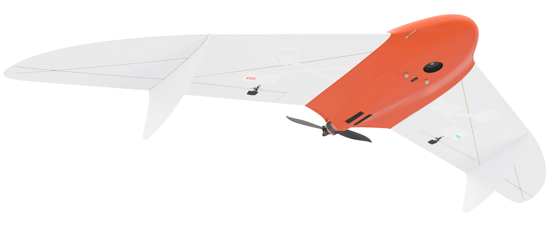


Geoscan 201 Geodesy
An unmanned aerial survey system featuring 3 hour flight time and a geodetic GNSS receiver.

Add to compare
Overview
Geoscan 201 Geodesy is a large-coverage photogrammetric mapping system with onboard geodetic GNSS-receiver, allowing to survey 8000 ha per day and obtain orthomosaic map with centimeter grade georeferencing accuracy (suitable for mapping at a scale of 1: 500) without creating the ground control points.
Download the Geoscan 201 Geodesy operation manual:
Equipment list
- Folding rack for UAV assembly
- Fuselage
- 120 mm mounting rods
- 220 mm mounting rods
- 610 mm mounting rods
- Fuselage holder
- Left wing console
- Right wing console
- Left wingtip
- Right wingtip
- Fins
- Radio link modem

Control without RC transmitter
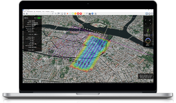
Geoscan Planner software allows to create flight missions for areal surveys of terrain and linear objects in different flight modes (point-by-point, areal survey, etc.). You can easily upload your map layers to .kml and .kmz files.
The software will automatically generate flight mission, send flightpath to UAV and track real-time flight status. All you need is to select the area on the map or upload your flightpath.
Main specifications
Flight time:
up to 3 hours
Max. flight route length:
210 km
Coverage per flight:
at a 3-10 cm GSD: 15-42 km2

Wind resistance:
12 m/s

Speed:
up to 110 km/h
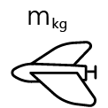
Weigth (incl.camera and battery):
8,5 kg
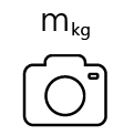
Max. payload weight:
1,5 kg
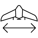
Wingspan:
222 cm
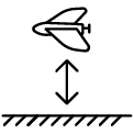
Min. safe flight altitude:
100 m
Max. flight altitude:
4000 m
Operating temperatures:
from -20 to +40 °С
extra option "Arctic" allow temperature resistance down to -40 °С

Motor:
electric, brushless
Take-off:
launcher/parachute, automatic

Geoscan 201 Geodesy package contents
Geoscan 201 Geodesy system includes unmanned aerial vehicle (UAV), ground control station (GCS) and launcher in transport bag.
Basic package consist of
- Unmanned aerial vehicle (UAV) Geoscan 201 Geodesy:
- Upgraded photogrammetric camera 45 MPix
- Triple-system (GPS/GLONASS/BeiDou) GNSS receiver with dual band (L1/L2) antenna
- Battery 5S, 34000 mAh
- Folding rack for UAV assembly
- UAV transportation container(IP67, size: 80x52x31 cm, gr.wt.: 18,5 kg)
- Flight management(or ground control station) software : Geoscan Planner
- Radio Link modem
- Battery charger
- Launcher in transportation bag (size:120x25x20 cm, gr.weight.: 14 kg)
- Spares and accessories
Extra equipment
- «Sahara» modification (extends operational temperature range to 0°С/+50°С)
- «Arctic» modification (extends operational temperature range to -40°С/+20°С)
Software to consider
Operator Training in St. Petersburg
- Introduction to Geoscan UAV & workflow
- Flight planning & management with Geoscan Planner
- Practical work in the field
Создание и оснащение специализированных классов для беспилотных авиационных систем (БАС)
Agisoft Metashape Standard — образовательная лицензия, которая соответствует позиции «Фотограмметрическое программное обеспечение» из методических рекомендаций Министерства просвещения РФ по созданию и оснащению классов для обучения программам СПО в сфере разработки, производства и эксплуатации БАС.

1 Year / 80 flights warranty

System operation training course
