Unmanned aircraft Geoscans
Over 10 years of experience on the unmanned aerial vehicle (UAV) market let specialists at Geoscan GC create a series of pioneering fixed wing UAVs. Due to their high aerodynamic efficiency, Geoscan UAVs are ideally suited for surveying of vast territories, extended linear sites and for operation over large distances. The main feature of our products is an elaborate combination of advanced materials. We are the first in Russia to have built a series of airplanes with a composite fuselage and wingsmade of expanded polypropylene. This makes our UAVs shock resistant and facilitates field maintenance.
Ground control station

Fully automated systems

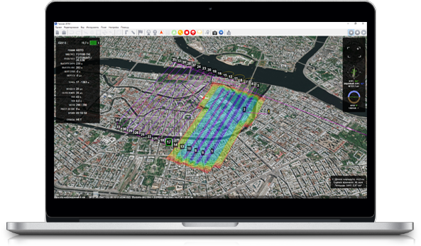
All Geoscan airplanes operate fully automatically. Just point out the survey area on an interactive map and the UAV will do the rest of the job..

The launch is executed by placing the UAV on the catapult and pressing the button on the ground control station. At the end of mission UAV will smoothly parachute down to the launch point. Our smart autopilot is designed for fail-safe operation even in severe conditions and is equipped with a set of sensors for continuous flight parameters monitoring: air speed, altitude, attitude and battery level.

In a case of any emergency situation UAV will automatically fly back to the launch point or perform an emergency landing. Managing the flight from the ground station, you can always cancel or change the mission in a few clicks.
Geoscan 701

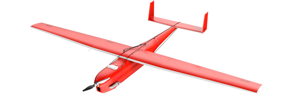
A complex for aerial photography of the highest performance, which, due to the use of a professional digital aerial photography camera, has high speed and a flight time of up to 10 hours. The main advantage of Geoscana 701 is the ability to survey in hard-to-reach areas, including Siberia, the Arctic and the Far East, when the starting point is located at a considerable distance from the subject.

Geoscan 201 Geodesy

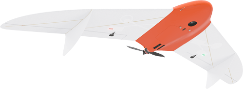
Geoscan 201 is a complex with extended flight duration. It is capable of staying in the air for up to three hours, which allows it to travel up to 100 km from the launch point and shoot up to 4200 hectares with a resolution of 10 cm/pixel in one flight. A wide range of supported payloads ensures the versatility and versatility of the Geoscan 201.
x
Product comparison
 Show: main difference characteristics equipment  clear list

ProductLoading...
The list of comparisons is empty.
 
Close comparison
  Product comparison