Precise UAV-based magnetic survey
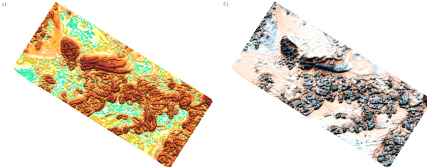
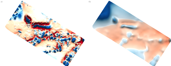
It is now possible to get magnetic field data with aerial speed and ground-based precision. We use improved flight control system to perform variable altitude and speed proximity flight. This kind of survey is used in archeology, regional structural geology and man-made structure expliration.

1-2 seconds interval between magnetic field variation measurements.
Field work and data processing according to geological mission.
Flights under FAA regulations.
The survey may be performed at 5 m above plain areas and at 30 m in thick forest conditions.
Proximity flight following the terrain curves.
Up to 330 linear km of precise magnetic survey in 1 day.
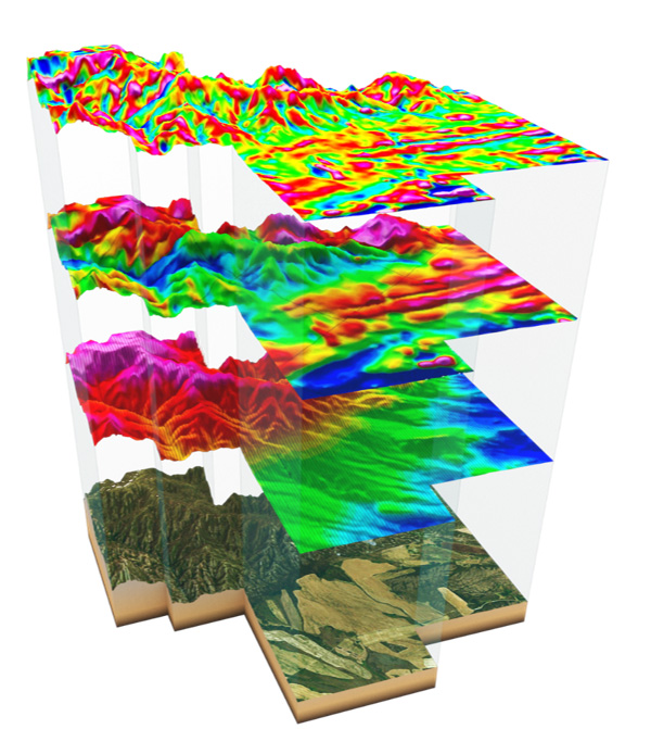
Altitude-differencial analysis to create magnetic field anomaly cube.
Get results:
- The observed magnetic field data is recorded 10 times per second, which will provide a surface distance of 0.8 to 1 m between observation points.
- The average error in determining the coordinates of observation points after performing differential data correction does not exceed ± 2 m
- RMS error of imaging does not exceed ± 2 nT
- Performing control measurements on several routes in the amount of at least 5% of the total number of survey routes
Geoscan magnitometric complex
Combines UAV flexibility with sensitivity of quantum magnitometer equipped with rubidium sensor. Capable of proximity flight while performing precise aeromagnetic survey.
Provides the ability to inspect volumetric magnetic deviations and vertical component analysis, allowing to use new interpretation methods. This creates next level of precision for geomagnetic models.

Specifications
| Sensitivity | 1 pT/√HZ |
| Measurement range | 20,000–100,000 nT |
| General deviation error | < 0,3 nT |
| Measurement frequency | 1000 Hz |
| Feedback loop bandwidth | 30 Hz |
| Sensor angle range | ± 45° |
| Operating temperature range | – 20 to + 40 °С |

