Thermography allows to perform monitoring with еру use of UAV even in difficult conditions of reduced visibility or in the dark. Order a thermal imaging to detect heat loss, find defects of equipment, locate leaks or points of wastewater discharge.
In order to obtain the most informative and stable results, we developed a technology of precise superposition of thermal images with visible images.
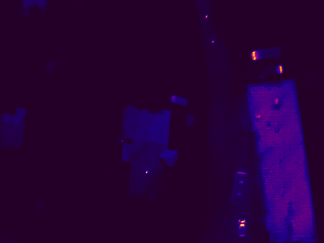
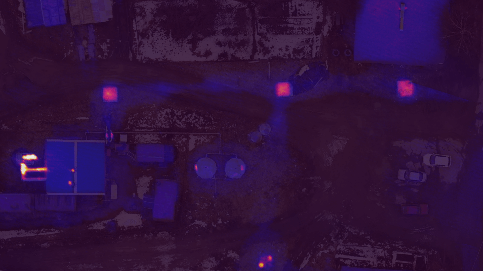
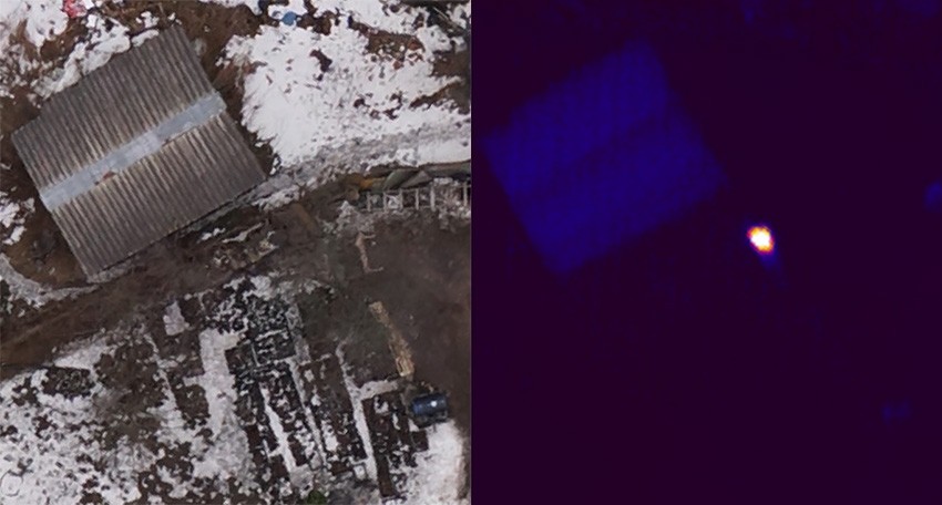
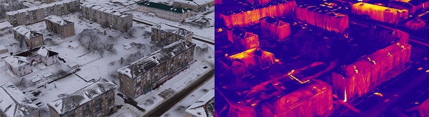
The surveys with the use of the new technology are carried out with the help of Geoscan 201 UAV. A thermal imager of the range of 8-14 mcm (long-wave IR range) and a camera for simultaneous aerial photography in the visible range are installed. The resulting infrared images in grayscale can be converted to pseudo-color image, where low temperatures correspond to dark colors, and the high ones correspond to bright colors:

Thermal imaging can be successfully used to monitor heating networks, under or below the ground. It will help to increase the efficiency of heating networks, reduce heat loss and the number of accidents.
Evaluation of the thermal efficiency of buildings and the search for heat leakages, which leads to a reduction of the cost of heating the buildings.
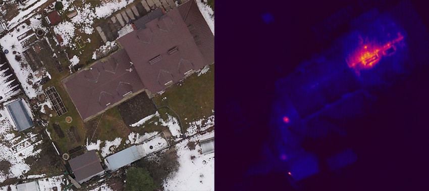
Search for the objects with a high temperature: ignition and smoldering sources, overheated equipment – which are invisible on ordinary photos.
The results of thermal imaging can also be presented in the form of a three-dimensional model:
Also, the data is available for online viewing in Agisoft Cloud:
The layer with thermal imaging mosaic in this example is semi-transparent, which simplifies the interpretation of the objects.