Due to the significant stretch of the motor roads, it is not so easy to ensure their infrastructure control and continuous functioning. Repair works planning is impossible without awareness of the current state of the road pavement. Designing of new roads and junctions requires appropriate mapping.
Spatial data obtained with the help of Geoscan complexes will assist you in solving various road facilities management tasks. Application of the modern technologies Geoscan allows to reduce costs at the stages of roads designing and construction, and efficiency of the obtained data will allow to carry out control over construction process and conditions of remote facilities.
Use if UAV Geoscan is a powerful modern tool in the designer’s hands
Design
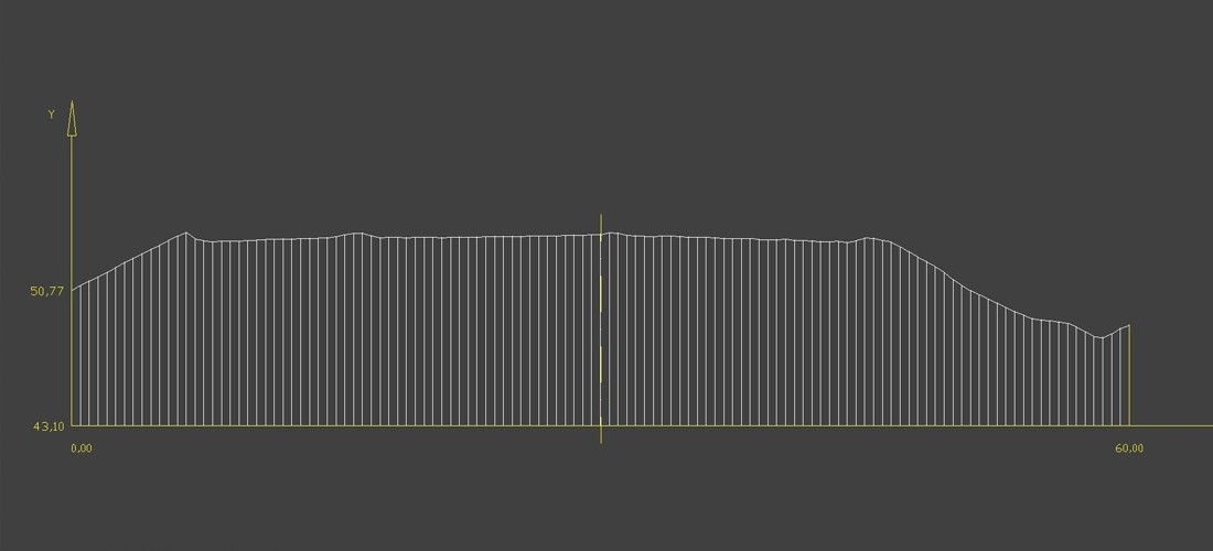
With the help of our technologies, you will be able to obtain accurate three-dimensional data about underlying ground surface for the assessment of the most appropriate routes of roads laying and transport facilities placement. Digital models of the surface and altitude matrix generated in Agisoft Photoscan are completely compatible with GIS and CAD, which allows to use them upon new facilities designing.
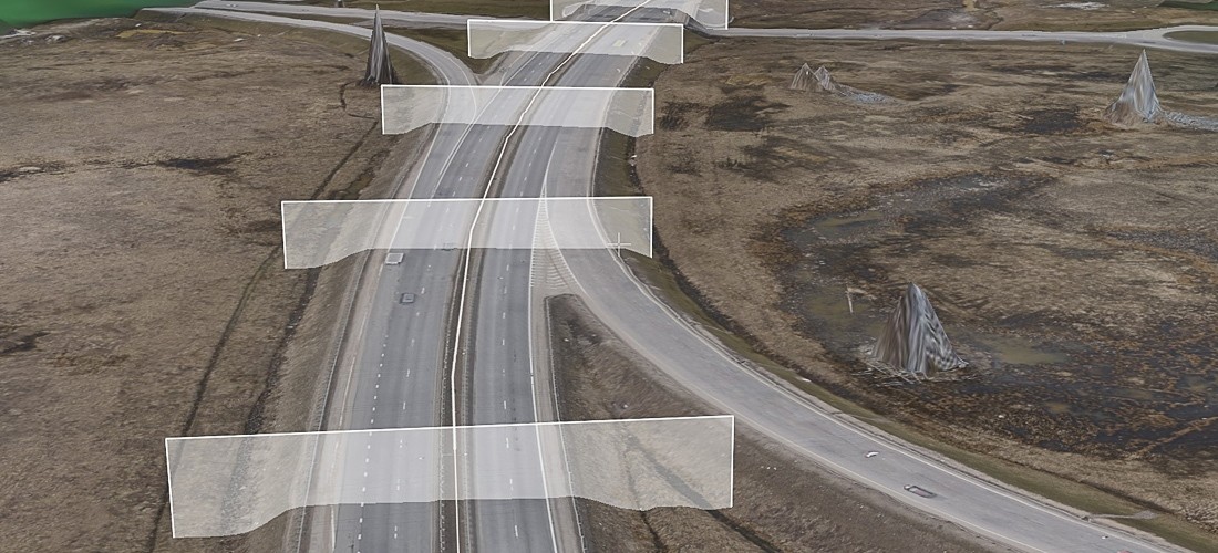
Civil engineering surveys
Aerophotographical complexes Geoscan are successfully applied during engineering surveys for linear structures construction. Technologies developed by us allow to increase efficiency of topographic plans development in the scale 1:500, 1:1000 и 1:2000. Along with that, no difficulties will be experienced upon survey of the hard-to-reach territories. Surface features, presence of water or other obstacles will not influence on the accuracy or labor costs required for survey either.
Monitoring
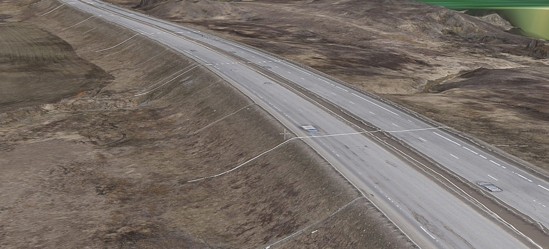
Due to the ultrahigh spatial resolution of photos, you can accurately assess condition of the road pavement, road sides and ditches, condition of the road system elements. It is difficult to imagine a more convenient and safe method of examination of bridge bearings and spans and other hard-to-reach facilities than the method using UAV. Did a land sliding or a snow-drift occur? Geoscan technologies will help you to explore the circumstances and estimate the scope of recovery works.
Fly-around with the use of UAV is a convenient and safe method of hard-to-reach facilities examination
Quality control
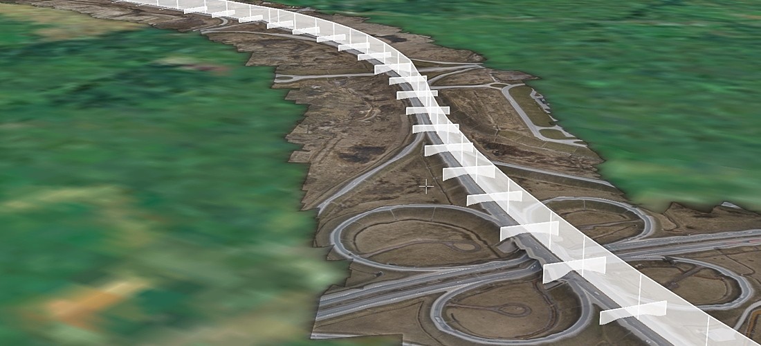
UAV Geoscan allows to carry out efficient photo and video control of all stages of the road works. Geoscan technologies allow managing engineers to obtain relevant information about all aspects of construction works at a short notice and take effective managing decisions. Geodetic survey accuracy enables to determine deformations and deviations from the design reference marks.