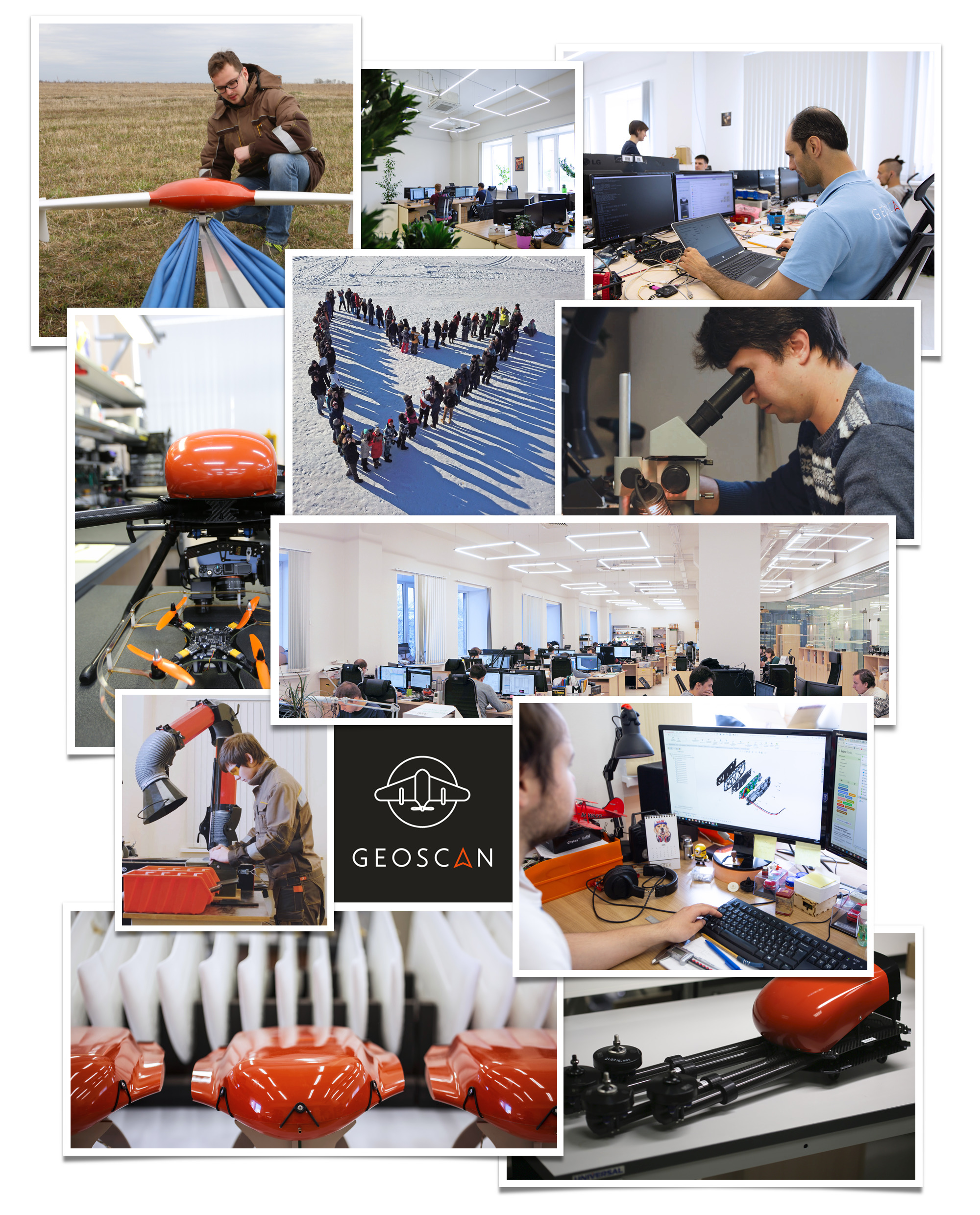
About us
Geoscan stands as a group of Russian technological enterprises which specializes in the design and fabrication of unmanned aerial systems, miniature satellites (CubeSats), avionics, wireless communication systems, and the engineering and assembly of unmanned systems and indoor navigation devices for STEM education and robotics competitions. Moreover, Geoscan’s expertise extends to services in unmanned aerial photography, which include multispectral and thermal imaging, airborne laser scanning, geological exploration, and aerial displays.
By consolidating the development and manufacturing of UAVs, CubeSats, their intricate components, and software under one roof, Geoscan attains remarkable specifications for its final products.
The array of Geoscan Group offerings spans across diverse sectors:
- Generating intricate 3D renderings of terrains and structures for urban planning, mining, and construction surveys.
- Producing orthophotomaps for cadastral mapping and land supervision.
- Monitoring pipelines, roadways, and power distribution networks.
- Crafting vegetation index maps to facilitate precision agriculture.
- Conducting comprehensive forest inventories and assessments.
- Detecting thermal anomalies and emergency situations within residential and utility infrastructures.
- Undertaking magnetic and gamma-ray spectrometric surveys for geological exploration.
- Providing real-time video surveillance in times of crises.
- Extending robotics education programs to students ranging from schoolchildren to those in higher education institutions.
The reach of Geoscan Group’s products and services extends to over 50 countries across the globe.
Records
- Undertaking the world’s most extensive UAV project: creating a 3D representation of the Moscow region in Russia from 5,000,000 aerial images captured by drones.
- Initiating the world’s largest unmanned exploration project: obtaining imagery over an area of 1,250 square kilometers in Siberia.
- Orchestrating the world’s greatest drone show: commemorating the 75th anniversary of Victory in the Great Patriotic War with a fleet of 2,198 drones flying above St. Petersburg.
- Creating the world’s largest 3D model of a cultural heritage site: reconstructing the ancient city of Palmyra in Syria.
- Launching Russia’s first commercial satellite with the capability of deploying other spacecraft into orbit.
- Registering drones in the State Register of Measuring Instruments for the first time in Russia.
- Pioneering a unique technology for the comprehensive surveillance of power transmission lines using UAVs.
History
2025
- Launched ten small satellites of our own design into orbit, including InnoSat16, the first Russian 16U CubeSat
- Became the largest contractor under the national civil government program for unmanned aerial systems, accounting for more than 90% of the program’s volume
- Built a full lineup of UAS models for video monitoring: in addition to Geoscan 801 and Geoscan 701 Video, it now includes Geoscan 201 Video and Geoscan 801 Tethered
- Developed the first domestically produced single-sensor camera for UAV multispectral imaging in the SWIR range
- Confirmed leadership in Russia and globally by the volume of geophysical exploration using UAS, completing over 57,000 linear kilometers worth of airborne magnetic surveys
- Released new products in the education segment: Russia’s first training copter with onboard AI, Geoscan Pioneer Mini 2; the compact training range Geoscan Arena Mini; and an updated version of the Pioneer Drone Sim software for developing piloting skills
- To commemorate the 80th anniversary of Victory in the Great Patriotic War, staged a 2500-drone show that set a new national record for Russia
2024
- We produced over 19,000 UAVs — our highest annual output to date
- We updated our previous world record for the area covered by unmanned aerial photography, by surveying more than 37,000 square kilometers in Moscow Region
- We conducted aeromagnetic surveys covering more than 30,000 linear kilometers across 13 regions of Russia, from the Urals to the Arctic, and approximately 3,000 linear kilometers in Papua New Guinea, Saudi Arabia, and Laos
- As part of the Space-π project, we launched into orbit five new educational CubeSats based on the Geoscan 3U platform
- For the first time in Russia, we implemented the drone control technology via Gonets Russian satellite system
- We deployed 50 ground stations as part of the SONIKS project, creating the largest network of stations in Russia for receiving data from spacecraft
- We opened a new aviation training center in St. Petersburg
2023
- We obtained a UAS operator’s certificate
- We created the client satellite StratoSat TK-1 — the first CubeSat in Russian history that deployed another spacecraft into orbit
- We catalogued 100 solid waste disposal sites across seven federal districts of Russia
- We created a digital topological map of the Leningrad (8,390,800 ha) and Novgorod (5,450,100 ha) Regions for the Ministry of Agriculture of the Russian Federation
- We carried out geophysical exploration at 47 license areas, more than 41,000 linear km in different regions of Russia and abroad (in Kyrgyzstan and Saudi Arabia)
2022
- We delivered Geoscan Gemini systems to 50 branches of Rosreestr, along with equipment for Russia’s first Federal Technopark of Professional Education
- We carried out aerial survey, aerial laser scanning and panoramic surveys of 28 solid municipal waste sites in eight regions of Russia
- We staged our largest drone show in the UAE with 2,200 drones, delivered our most technically advanced performance in AlUla (Saudi Arabia), and debuted with drone shows in Egypt and Peru
2021
- We expanded into a new business area — the development of educational CubeSat-class nanosatellites
- We ranked among the top three drone show companies in the world
- We took first place in the Best 1000+ Drone Show category and received a special award for outstanding contributions to the global growth of the industry
- Geoscan 201 UAV helped identify around 1,000 archaeological sites
2020
- We set a new world record with 2,198 drones flying simultaneously
- We completed the world’s largest drone-based geological exploration project at a Siberian deposit spanning over 1,250 square kilometers
- We created the most extensive 3D model of a historical site to date — the ancient city of Palmyra
- Geoscan 401 drone reached the summit of Mount Elbrus (5,642 m)
2019
- We completed an inventory of 25,000 km of federal highways
- We created 3D models of Makhachkala, Nizhnevartovsk, Ussuriysk, and Kronstadt (the latter in partnership with MegaFon PJSC)
2018
- We were the first in the world to discover a mineral deposit using drones — 300 million tons of iron ore in Yakutia
- We developed 3D models of Komsomolsk-on-Amur, Kazan, Naberezhnye Chelny, Banja Luka, and Brčko (Bosnia and Herzegovina)
- We completed aerial photography and vectorization of roads in the Moscow Region, spanning more than 1,400 km
- We created 3D models and orthophotomaps of the major ski resorts in the Caucasus — Elbrus, Arkhyz, and Veduchi
- We performed aerial surveys of over 7,000 km of power lines in Siberia, Western Siberia and North-West of Russia
- We completed land inventory covering more than 9,000 square kilometers across three districts in the Novgorod Region
2017
- We developed a quantum magnetometer for aeromagnetic surveying
- We completed the world’s largest drone-based project — a full 3D model of the Tula Region
- We carried out aerial photography of Khabarovsk
- We created 3D models of Veliky Novgorod and Palmyra
- We surveyed a mountain road in Kyrgyzstan at 3,500 meters above sea level
- We performed aerial photography of the Uzon-Geyser depression in the Kronotsky Nature Reserve, Kamchatka
- We performed aerial photography of more than 4000 km of trunk pipelines
2016
- We launched a new product — the Pioneer quadcopter, the first programmable educational drone system in the Geoscan lineup
- We became the first in the world to survey and create a 3D model of over 4,000 km of power lines
- We developed a 3D model of Astana
- We used the Geoscan 201 Agro drone to monitor more than 1.5 million hectares of crops
- We monitored the construction of the Saint Petersburg stadium for two months from five control points
2015
- We created 3D models of glaciers in the Mongolian mountains at altitudes of up to 4,500 meters
- We developed a 3D model of Salekhard
2014
- Geoscan created a 3D model of Tomsk — the largest drone-based project at the time
- We conducted survey work along the 2,080 km Russian section of the Silk Road highway
2013
- We developed GIS Sputnik software to support geodesy, mine surveying, and urban planning tasks
- We launched the Geoscan 201 aerial survey system
- We developed Russia’s first digital DRM-standard radio receiver
2012
- We pioneered our first fixed-wing UAV, the Geoscan 101
2011
- Company founded
Geoscan advantages

Integrated manufacture

Worldwide shipping

Free flight operators training