Company
Contacts
Blog
Products
All products
Fixed wing UAVs
Geoscan 701
Geoscan Lite
Geoscan 201
Copters
Geoscan Gemini
Geoscan 401 Geophysics
Geoscan 401 Geodesy
Geoscan 401 Tethered
Geoscan 401 Lidar
Geoscan 401 Gamma
Geoscan Pioneer
Geoscan Pioneer
Geoscan Pioneer Mini
Indoor navigation system
Compontents
Geoscan Pollux
Small satellites
Nanosatellites
Microsatellites
Services
All services
Aerial survey and 3D mapping services
Aeromagnetic survey
3D models of territories
Thermal imaging
Power transmission line inspection
Airborne laser scanning
More
Contacts
Blog
+7 812 363-33-87
Contact us
Technical support
Products
Fixed wing UAVs
Geoscan 701
Geoscan 201 Geodesy
Copters
Geoscan Gemini
Geoscan 401 Geophysics
Geoscan 401 Geodesy
Geoscan 401 Lidar
Geoscan 401 Gamma
Geoscan Pioneer
Geoscan Pioneer
Geoscan Pioneer Mini
Geoscan Pioneer FPV
Indoor navigation system
Indoor IR-navigation system
Competition ground «Geoscan Arena»
Geoscan Pioneer Show
Components
Geoscan Pollux
Small satellites
Nanosatellites
Microsatellites
Services
Aerial survey and 3D mapping services
Aeromagnetic survey
3D models of territories
Thermal imaging
Power transmission line inspection
Airborne laser scanning
Applications
Software
Agisoft
Metashape Professional
Metashape Standard
Sputnik
Sputnik GIS
Sputnik Agro
Geoscan Planner
Geophysics
Drone show
Technical support
8 800 333-84-77
info@geoscan.ru
Russian
Geoscan Pioneer
Home
Продукты
Geoscan Pioneer
Select model
Geoscan
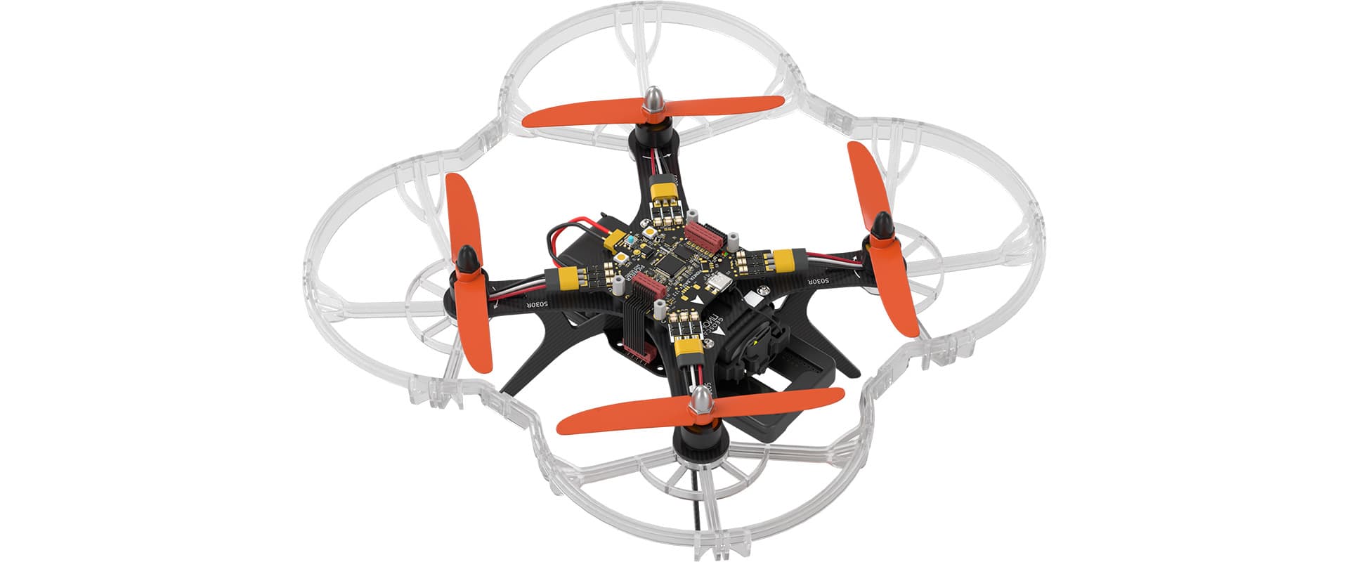
Geoscan Pioneer
Price on request
Request a price
Product page
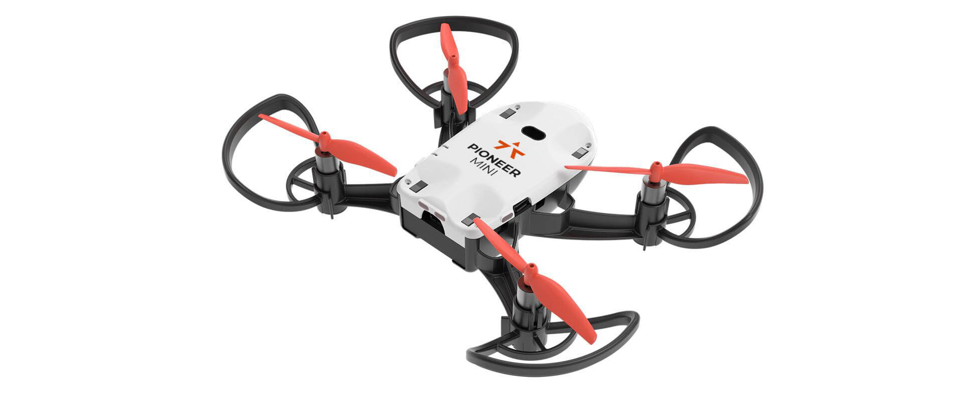
Geoscan
Geoscan Pioneer
Mini
Price on request
Contact us
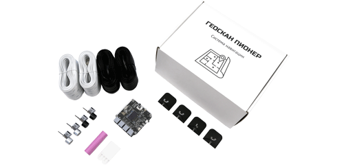
Geoscan
Geoscan Pioneer
Indoor navigation system
Price on request
Request a price
Приобрести продукт
×
Contact us for discussion and get free quote
Your name*
Email*
Phone*
Phone*
Who are you selecting equipment for*:
- Select -
For your organization
For resale
What is the name of your organization*
What is the name of the end customer*
Comment
I consent to my submitted data being collected and stored by Geoscan
?
I subscribe to the Geoscan newsletter
Select product
Кому отправить
https://www.geoscan.ru/en/products/pioneer
https://www.geoscan.aero/ru/products/components/3dlink
Страна
Обязательная проверка робота
x
Product comparison
Show:
main difference
characteristics
equipment
clear list
Product
Loading...
The list of comparisons is empty.
Close comparison
Product comparison