Geoscan 201 Geodesy
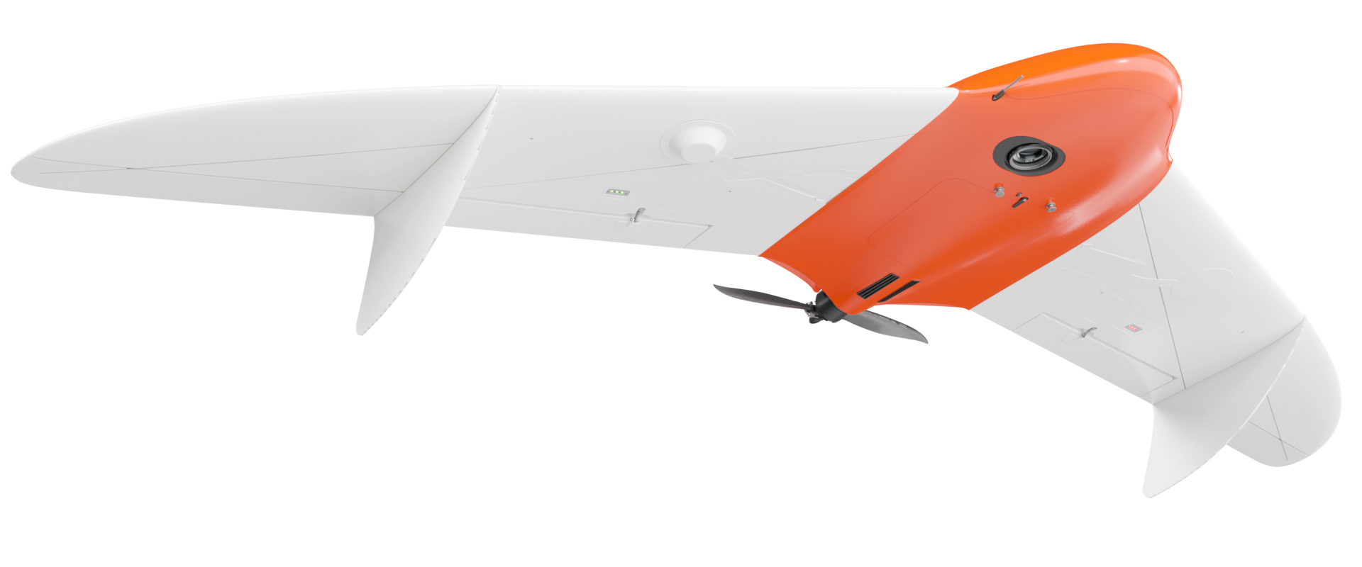


Geoscan 201 Geodesy
An unmanned aerial survey system featuring 3 hour flight time and a geodetic GNSS receiver.

Add to compare
Overview
Geoscan 201 Geodesy is a large-coverage photogrammetric mapping system with onboard geodetic GNSS-receiver, allowing to survey 8000 ha per day and obtain orthomosaic map with centimeter grade georeferencing accuracy (suitable for mapping at a scale of 1: 500) without creating the ground control points.
Download the Geoscan 201 Geodesy operation manual:
Equipment list
- Folding rack for UAV assembly
- Fuselage
- 120 mm mounting rods
- 220 mm mounting rods
- 610 mm mounting rods
- Fuselage holder
- Left wing console
- Right wing console
- Left wingtip
- Right wingtip
- Fins
- Radio link modem

Control without RC transmitter
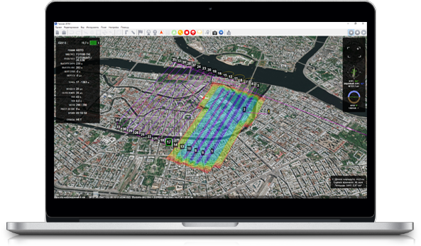
Geoscan Planner software allows to create flight missions for areal surveys of terrain and linear objects in different flight modes (point-by-point, areal survey, etc.). You can easily upload your map layers to .kml and .kmz files.
The software will automatically generate flight mission, send flightpath to UAV and track real-time flight status. All you need is to select the area on the map or upload your flightpath.
Main specifications
Flight time:
up to 3 hours
Max. flight route length:
210 km
Coverage per flight:
at a 3-10 cm GSD: 15-42 km2
Wind resistance:
12 m/s
Speed:
up to 110 km/h
Weigth (incl.camera and battery):
8,5 kg
Max. payload weight:
1,5 kg
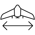
Wingspan:
222 cm
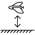
Min. safe flight altitude:
100 m
Max. flight altitude:
4000 m
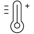
Operating temperatures:
from -20 to +40 °С
extra option "Arctic" allow temperature resistance down to -40 °С
Motor:
electric, brushless
Take-off:
launcher/parachute, automatic

Geoscan 201 Geodesy package contents
Geoscan 201 Geodesy system includes unmanned aerial vehicle (UAV), ground control station (GCS), launcher in transport bag and battery charger in transport container.
Basic package consist of
- Unmanned aerial vehicle (UAV) Geoscan 201 Geodesy:
- Upgraded photogrammetric camera 45 MPix
- Triple-system (GPS/GLONASS/BeiDou) GNSS receiver with dual band (L1/L2) antenna
- Two batteries 5S, 34000 mAh
- Folding rack for UAV assembly
- UAV transportation container(IP67, size: 80x52x31 cm, gr.wt.: 18,5 kg)
- Flight management(or ground control station) software : Geoscan Planner
- Radio Link modem
- Battery charger in transport container (size: 51х41х22 cm, weight without batteries: 7,4 kg)
- Launcher in transportation bag (size:120x25x20 cm, gr.weight.: 14 kg)
- Spares and accessories
Extra equipment
- «Arctic» modification (extends operational temperature range to -40°С/+20°С)
- Multispectral camera Geoscan Pollux
Software to consider
Operator Training in St. Petersburg
- Introduction to Geoscan UAV & workflow
- Flight planning & management with Geoscan Planner
- Practical work in the field

1 Year / 80 flights warranty

System operation training course
