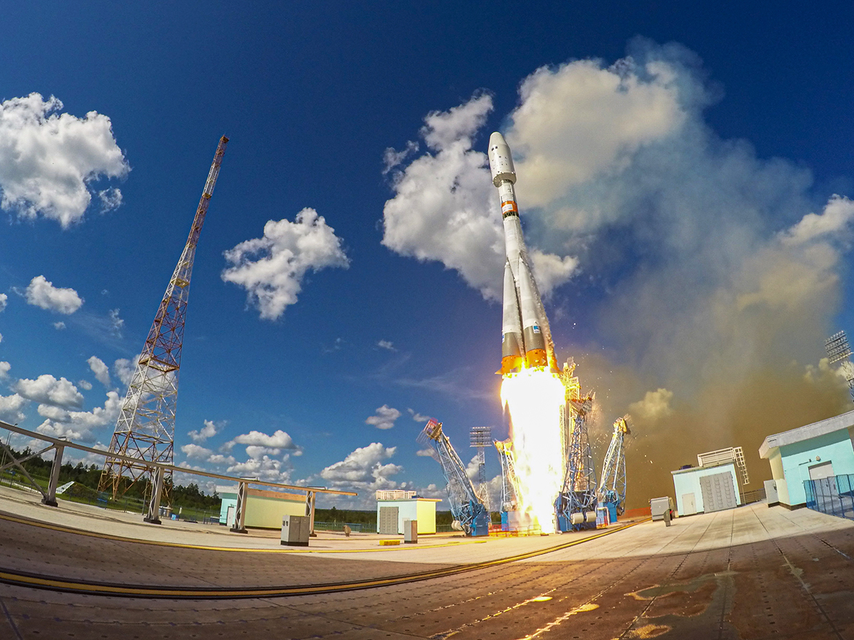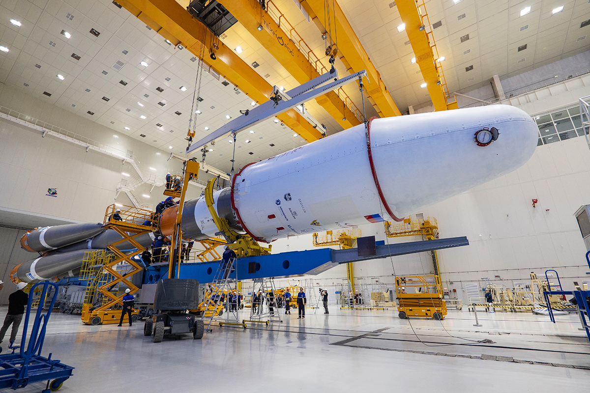
On July 25, nine experimental small satellites developed by Geoscan were launched into a near-polar sun-synchronous orbit at an altitude of approximately 500 km. These are: Geoscan-1, Geoscan-2, Geoscan-3, Geoscan-4, Geoscan-5, Geoscan-6, InnoSat3, InnoSat16, and 239Alferov. The launch took place from the Vostochny Cosmodrome at 8:54 Moscow time as part of the “Ionosfera-M” No. 3-4 mission onboard Soyuz-2.1b launch vehicle with Fregat booster.
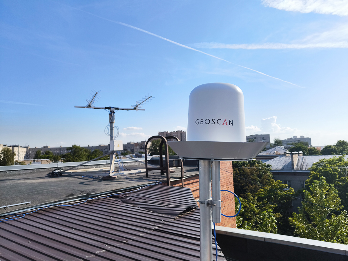
Ground stations in SONIKS and SatNOGS networks received the first signals from all satellites within five hours after launch. This allowed specialists from Geoscan’s Mission Control Center to conduct two-way communication sessions. The satellites successfully received commands and transmitted extended telemetry.
“The launch proceeded as planned, with satellites successfully released from their deployment containers. All nine satellites activated their antenna holder burn-through systems, established contact with Earth stations, and transmitted data on the status of their onboard systems. At the time of deployment, the satellites were charged within nominal parameters. Now we will proceed with commissioning the CubeSats and gradually activating their payloads,” commented Geoscan satellite engineer-operator Egor Meltsov.
The satellite payloads are purpose-made for testing communication technologies and Earth remote sensing. Additionally, eight 3U CubeSats are fitted with a new Geoscan GNSS antenna module to improve the reception quality of global navigation satellite system signals.
The launch culminated the second “Send Your Name to Space” campaign. The 239Alferov satellite delivered 7,787 names and over 3,500 images from around the world into orbit. The most interesting 67 drawings will be broadcast in the amateur radio band at 436.27 MHz under the RS61S call sign.
“This launch combines three key directions of Geoscan’s space expansion. The 239Alferov educational and scientific CubeSat furthers our collaboration with the Foundation for Assistance to Innovation under the Space-π project. Geoscan’s eight proprietary satellites represent a step forward in the development of space communication technologies and Earth remote sensing, enabling our company and its partners to create new competitive domestic services utilizing satellite constellations. This experience brings Geoscan closer to its long-term goal of interplanetary missions to create detailed 3D digital models of the Moon and Mars,“ said Alexander Khokhlov, Head of Small Spacecraft Projects at Geoscan.
Photo source: Roscosmos State Corporation.