Specialists from Geoscan and Samara National Research University have fine-tuned the hyperspectral imaging performed by the Colibri-S small satellite. Thanks to the CubeSat’s stable attitude in space, high-quality images of the Earth’s surface were obtained: vegetation, sandy areas, snow cover, and mountain ranges were observed from low Earth orbit.
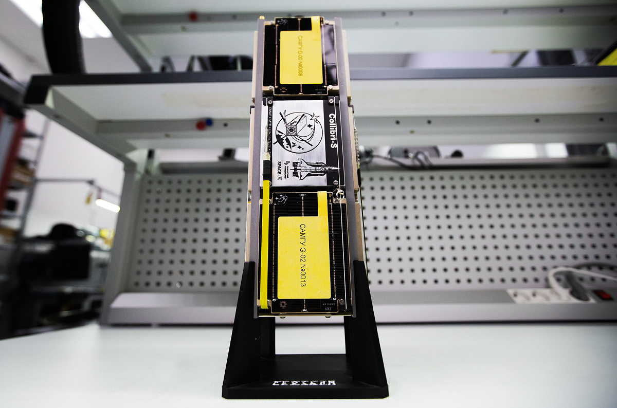
Colibri-S is based on the upgraded Geoscan 3U platform. The small satellite was launched into orbit on November 5, 2024, along with four other satellites designed by Geoscan for partner universities under the Space-π project of the Foundation for Assistance to Small Innovative Enterprises. For the company, these were the first satellites to feature an active attitude control system. This system allows the small satellites to quickly transition from uncontrolled rotation to precise positioning.
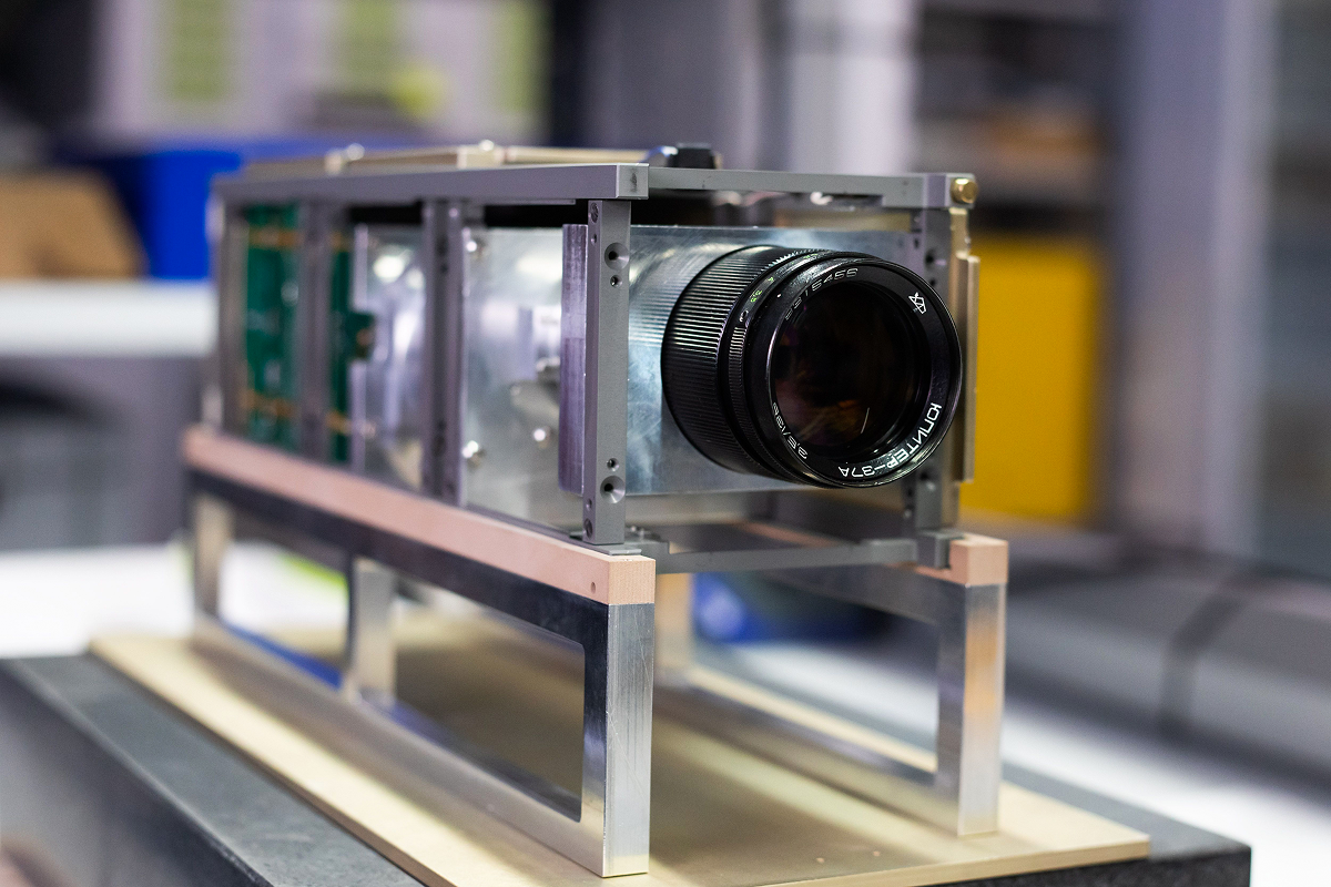
Colibri-S carries a hyperspectral camera for Earth remote sensing. To collect the most accurate data, it is important to orient the satellite so that the hyperspectrometer is pointed at nadir — exactly at the subsatellite point beneath the small satellites’s flight trajectory. This position is ensured by the CubeSat’s attitude control system. It also allows the antennas to be pointed at the ground station and helps maintain high-quality communication with the satellites.
Over several months, the Geoscan team, together with university staff, tested the attitude control system, including its reaction wheels, as well as the small satellites’s payload. About 30 imaging sessions were conducted in this period. Specialists configured data scanning at an increased frame rate in 2×2 binning mode — a technology that combines adjacent pixels into groups. This solution more than tripled the frame rate on the onboard single-board computer and improved imaging stability at high satellite speeds, while preserving the high information value of the data.
“Placing the Colibri-S into orbit, along with four other nanosatellites of the Space-π scientific and educational project of the Foundation for Assistance to Small Innovative Enterprises, was a major step for us. For the first time, Geoscan launched and took control of several CubeSats at once. We used an upgraded satellite platform. It features a new attitude determination and control system, as well as an improved communication system, including a high-speed transmitter developed by our engineers with a throughput of 250 Mbps. The device operates in the 10.45–10.5 GHz frequency range and provides a unidirectional space-to-Earth communication channel,” said Alexander Khokhlov, Head of the Small Satellite Projects Department at Geoscan.
After processing the video stream, specialists generated a 120-channel hyperspectral cube in the 400–1000 nm wavelength range. This is a three-dimensional data array obtained as a result of hyperspectral imaging. Each pixel contains information about two spatial dimensions (x and y) and the spectrum of electromagnetic radiation reflected from the Earth’s surface at the imaged point (z dimension). Spectral data for each coordinate were captured in 120 narrow spectral bands.
Based on the cube, a color-synthesized RGB image was produced. It captures a strip of the Earth’s surface 20 km wide and 145 km long. To improve accuracy, spatial correction was applied, taking into account the CubeSat’s speed and flight trajectory, scan orientation angles, and characteristic surface texture features. This processing reduced geometric distortions that occur during high-speed imaging. After color correction, vegetation, sandy areas, snow cover, and mountain ranges are clearly distinguishable in the image.
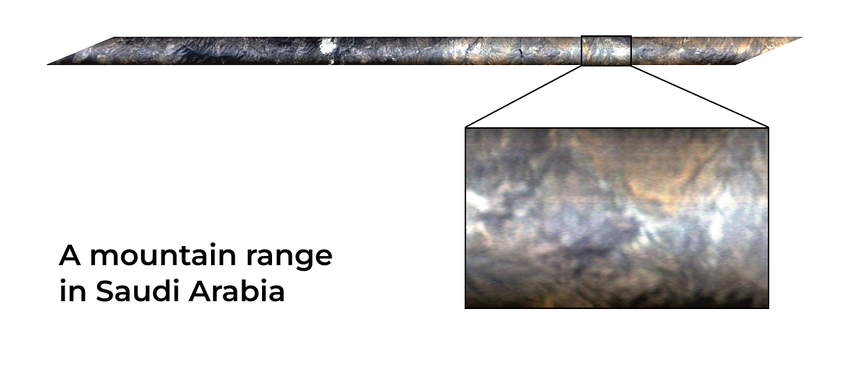
RGB reconstruction obtained using the Colibri-S satellite’s hyperspectral camera and color adjustment. Source: Samara National Research University named after Academician S. P. Korolev.
“Samara University has long been developing high-resolution hyperspectral cameras. Initially, they were to be installed on small satellites weighing several hundred kilograms with high-precision attitude determination and control systems. For example, with a ground resolution of 30 m/pixel, deviations of the camera optical axis must not exceed 10 arcseconds. Installing cameras like these on CubeSats, especially on smaller ones like Colibri-S, makes obtaining high-resolution hyperspectral imagery more difficult, as small satellites are much harder to stabilize. The Geoscan team specialists successfully accomplished this task,” noted Roman Skidanov, Professor of the Department of Cyberphotonics at Samara University.
In the future, the team plans to test new CubeSat attitude modes with pitch control: the satelite will compensate for its orbital motion through controlled rotation opposite to the direction of flight. This approach will reduce the scanning speed of the Earth’s surface relative to the satellite’s motion by a factor of two to four, increasing the clarity of hyperspectral data.
Hyperspectral imaging data are used in agriculture and environmental monitoring. They make it possible to assess vegetation health and identify signs of drought, disease, and nutrient deficiency. These data help track crop development, forecast yields, monitor the condition of soils and water bodies, and track environmental changes.
Hyperspectral imaging technology is also being tested on the Lobachevsky CubeSat, developed by Lobachevsky University and Geoscan based on the Geoscan 16U satellite platform. The small satellite is designed for agricultural and environmental research and carries a hyperspectral camera developed by Samara University and a multispectral camera manufactured by NPO Lepton. After flight testing is completed, school students from the Nizhny Novgorod Region and students from agricultural universities cooperating with Lobachevsky University will be able to work with spectral data from space imaging.
Colibri-S not only performs hyperspectral imaging for specialists, but also participates in amateur radio programs: it broadcasts photographs, children’s drawings, and images. The gallery of materials received from the satellite is available on the website of the SONIKS ground station network.