Effective response in case of emergency situation requires complete and timely spatial information about the occurred situation. When every minute counts, data collection and processing speed acquires great importance.
Remote sensing from the UAV is the most available and efficient source of the relevant spatial information. In case of natural or man-made disasters, Geoscan technologies will allow you to shoot the damaged area, develop detailed map and 3D model of this area within several hours. Our portable UAV can fly safely at low heights allowing to view the disaster area with the smallest details. This will help to find the injured and make prompt decisions.
Emergency prevention
The surrounding world holds multiple potential threats. Volcanic activity, forest fires, ice situations, rivers level, avalanche situation, etc. require continuous control. With the help of Geoscan technologies. You will be able not only to monitor but also create 3D models of potentially hazardous objects. Such models can be used for displacements and deformations measurement. Regular monitoring with UAV allows to perform complex assessment of ES risks and minimize their consequences.
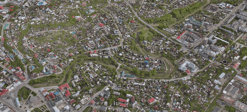
3D city flood modelling
Emergency recovery
You can obtain view of emergency zone from the air in a rapid and simple manner. Momentary readiness for launch, immediate receipt and automatic processing of data ensure creation of accurate and visual mapping basis for the emergency region. Our UAVs can be applied directly in the disaster zone for detection of ES sources, estimation of damage and monitoring of recovery works. The obtained materials will be perfectly suitable for development of the situational operations map, maps of territory modification and modeling of ES progression for a long period. While examining zones of chemical, biological, radioactive contamination from the UAV, you obtain a fill picture of the occurred situation without any risk for the human life or health.
Search and rescue operations
Search for the injured and arrangement of search and rescue operations is a task requiring maximum response speed. Modern UAVa are able to provide more rapid deployment of aerial observation. Online data transmission helps the responsible persons to make reasonable decision and coordinate operations of the rescue teams effectively. Opportunity to use various useful loads extends abilities of our UAVs even wider. For example, thermal imaging camera facilitates search for the injured people and allows to see through smoke or in the darkness. Due to the automatic data processing and completeness of obtained information, rescuers can receive an exhaustive picture of the occurred situation and determine optimal solutions.
Use of the thermal imager allows to look for victims even through smoke and в to complete darkness